
Leesburg, Ohio
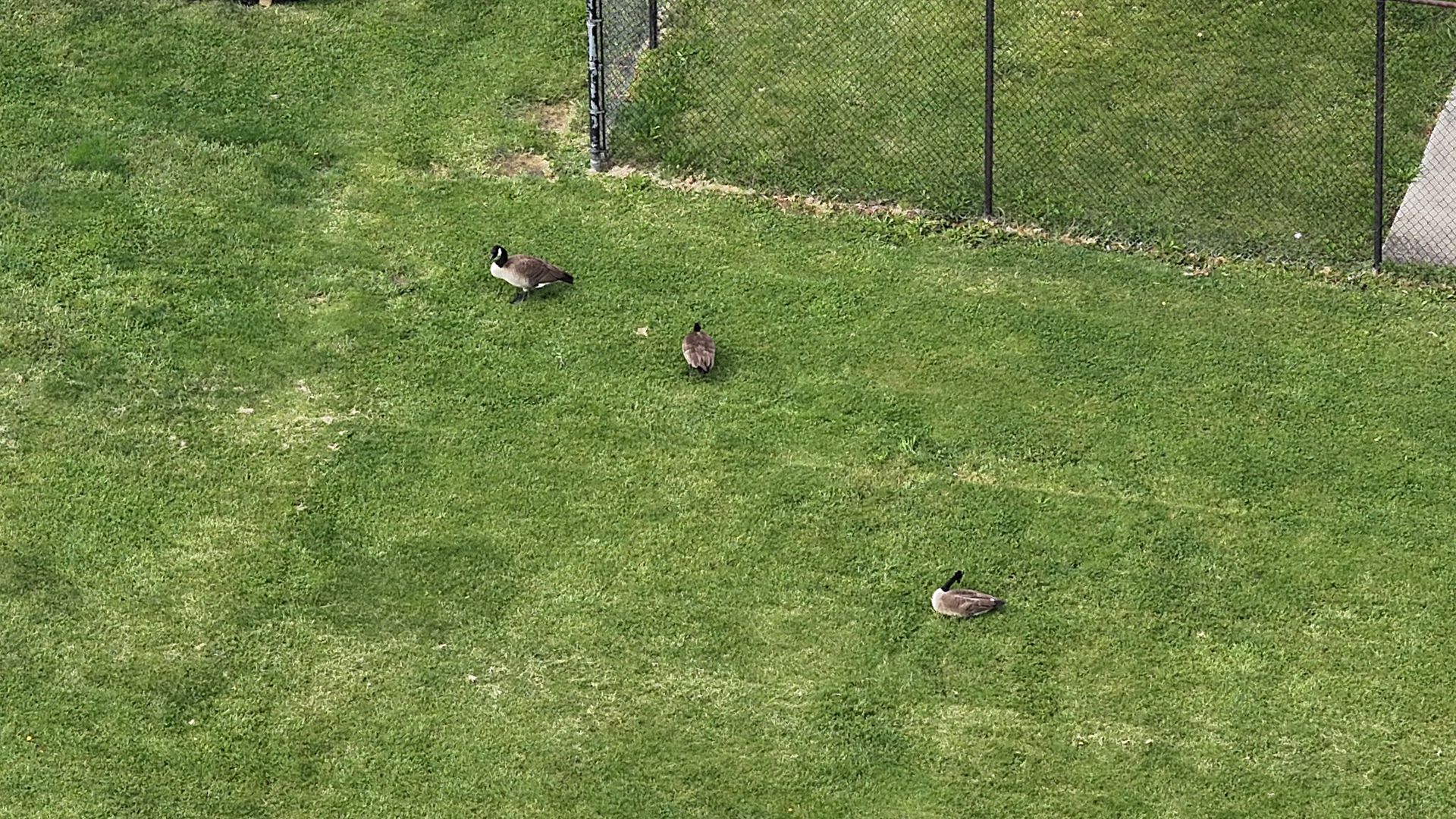
Drone Wildlife Surveys vs. Helicopter Surveys: How We Counted 133,000 Geese Across Ohio
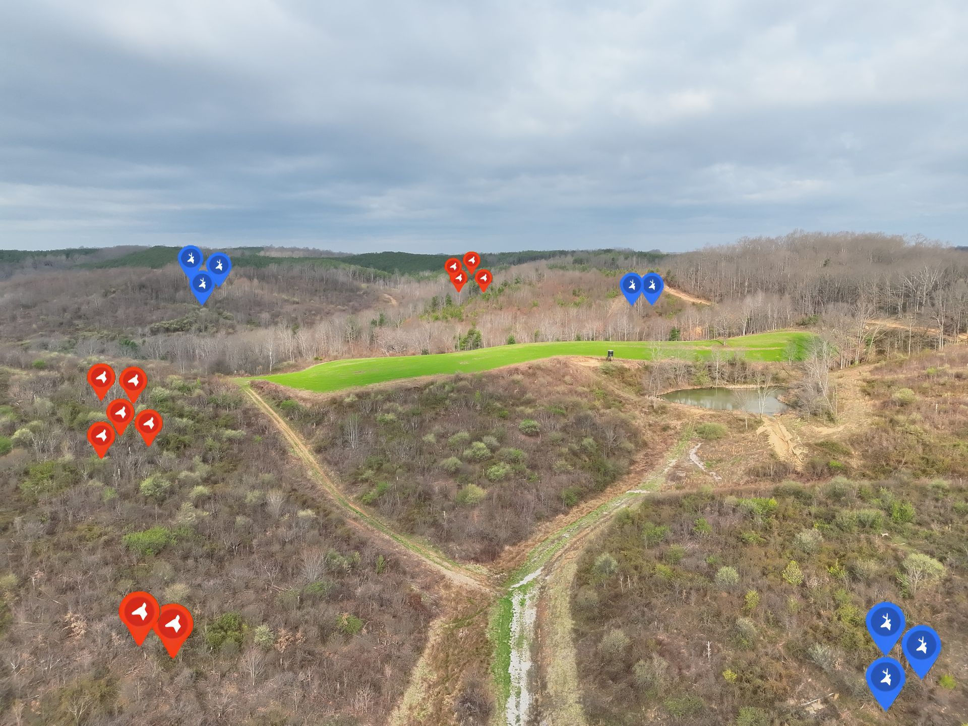
Elite Deer Recovery completed a thermal drone deer survey in Cincinnati, Ohio, helping a Midwest nature center collect deer population data for habitat protection, conservation planning, and wildlife management.

Elite Deer Recovery & Kirksville Drone Services Heading to the 2026 Open Season Sportsman’s Expo
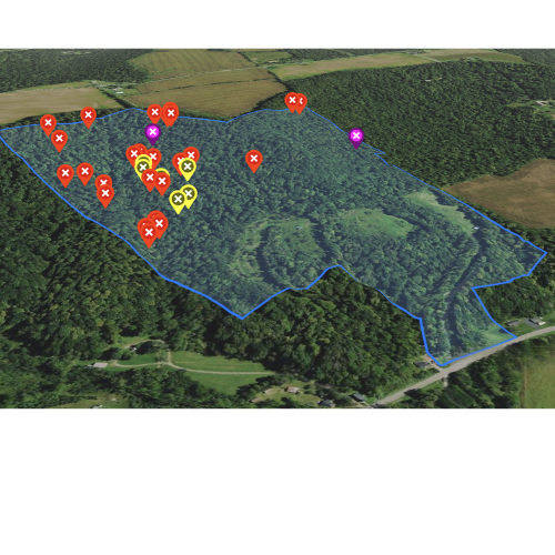
Elite Deer Recovery Offers Game-Changing Tools for Serious Hunters

We’re putting out cameras and mineral sites to get ready for deer season. Follow along as we prepare for a busy year tracking bucks and managing herds.
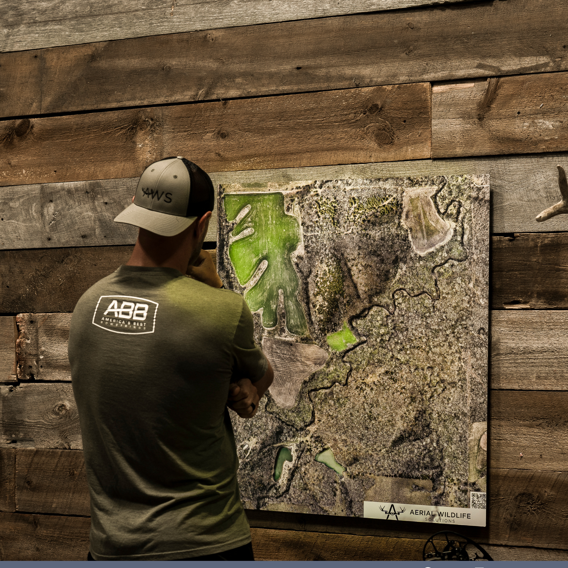
Elite Deer Recovery mapped 5,000 acres across Ohio in 2025. 25 custom property maps helping hunters and landowners plan for success.
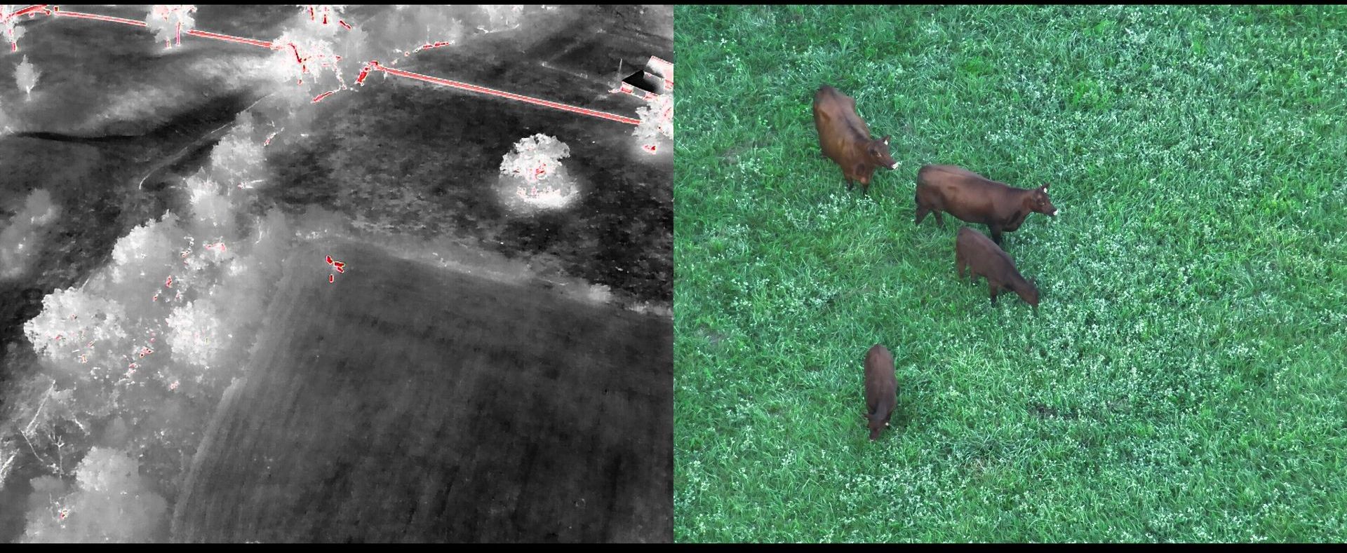
Locate lost livestock fast with thermal drones. We use advanced technology to track and recover cattle, horses, and more—day or night.