
Leesburg, Ohio
Drone Wildlife Surveys vs. Helicopter Surveys: How We Counted 133,000 Geese Across Ohio
zander parshall • June 24, 2026
Drone Wildlife Surveys vs. Helicopter Surveys: How We Counted 133,000 Geese Across Ohio

Drone Wildlife Surveys vs. Helicopter Surveys: How We Counted 133,000 Geese Across Ohio
When Ohio's annual Canada goose population survey was at risk of not happening this spring, our team stepped in with drones and delivered a statewide estimate that wildlife managers could actually use. Here's what happened, what the data showed, and what it means for the future of drone-based wildlife surveys.
Why Drones Replaced the Helicopter This Year
The Ohio Division of Wildlife conducts annual waterfowl surveys to track Canada goose populations across the state. This spring, a helicopter wasn't available to complete the surveys. Rather than go without data for the year, wildlife researchers reached out to us to see if drone technology could fill the gap.
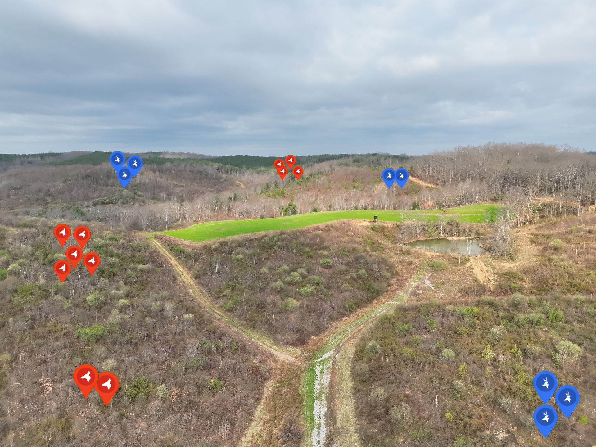
We flew 30 stratified survey plots across Ohio, covering both high-density and low-density goose habitat zones. The goal was to generate a reliable wildlife population estimate using UAVs in place of traditional manned aircraft.
What the Drone Survey Data Revealed
After processing the aerial survey data, the population estimate came back at 133,061 Canada geese in the state of Ohio this spring.
For context, ODW helicopter surveys over the past five years have ranged from approximately 60,000 to 80,000 geese annually. While our drone-based estimate is higher, it falls well within the range of historical helicopter surveys, which peaked near 150,000 geese back in 2011.
Drone Surveys vs. Helicopter Surveys: Breaking Down the Difference
The higher estimate raises a fair question: is the difference a sign that drones detect more, or is it just natural variation in the population?
The honest answer is that it's likely both, and further research will help sort that out. A few factors are worth understanding:
Sample size. We flew 30 plots compared to the ODW's typical 160. A smaller sample introduces more variance into the estimate, which is a known limitation of this particular survey.
Low-density habitat detection. The low-density strata, which covers most of Ohio, drove the estimate significantly higher than previous years. One likely explanation is that drones are detecting geese in low-density areas that helicopter surveys historically undercounted. At lower flight altitudes with stabilized camera systems, UAVs may simply be picking up more birds in sparse or fragmented habitat than a helicopter passing at higher speeds can capture.
Natural population variation. Canada goose populations do fluctuate year to year. Some portion of the difference may reflect real changes in the population, not a methodology gap.
The key takeaway is that drone-based wildlife surveys produced a credible, usable population estimate that was consistent with long-term historical data, even with a reduced number of plots.
Why Drone Wildlife Surveys Are Worth Taking Seriously
This project is a strong example of what professional drone wildlife surveys can offer:
- Cost efficiency compared to helicopter operations and pilot hours
- Flexibility to deploy quickly when traditional methods aren't available
- Potentially improved detection in low-density or hard-to-access habitat
- High-resolution imagery that can be reviewed and audited after the fact
- Scalability for both small private properties and large statewide programs
Drone technology isn't a wholesale replacement for every wildlife monitoring method, but projects like this one demonstrate that UAVs belong in the toolkit alongside traditional approaches.
What's Next
We'll continue to follow this research as feedback comes in from the ODW. Our hope is that this spring's survey helps open the door to broader conversations about incorporating drone-based wildlife surveys into annual monitoring programs across Ohio and beyond.
If your organization, agency, or property is interested in drone wildlife surveys, aerial population monitoring, or thermal wildlife detection, we'd be glad to talk through what's possible.
More Marketing Tips, Tricks & Tools
Elite Deer Recovery completed a thermal drone deer survey in Cincinnati, Ohio, helping a Midwest nature center collect deer population data for habitat protection, conservation planning, and wildlife management.
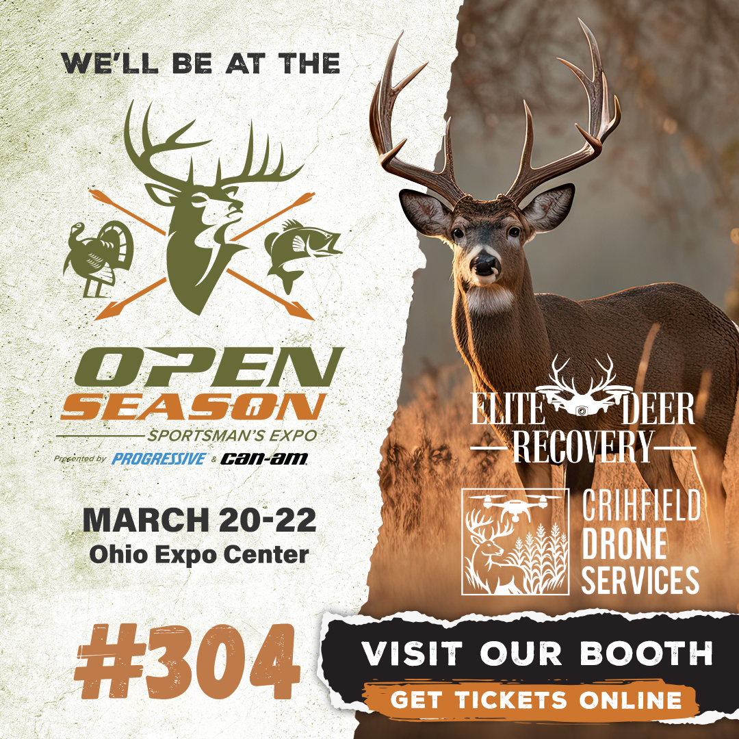
Elite Deer Recovery & Kirksville Drone Services Heading to the 2026 Open Season Sportsman’s Expo
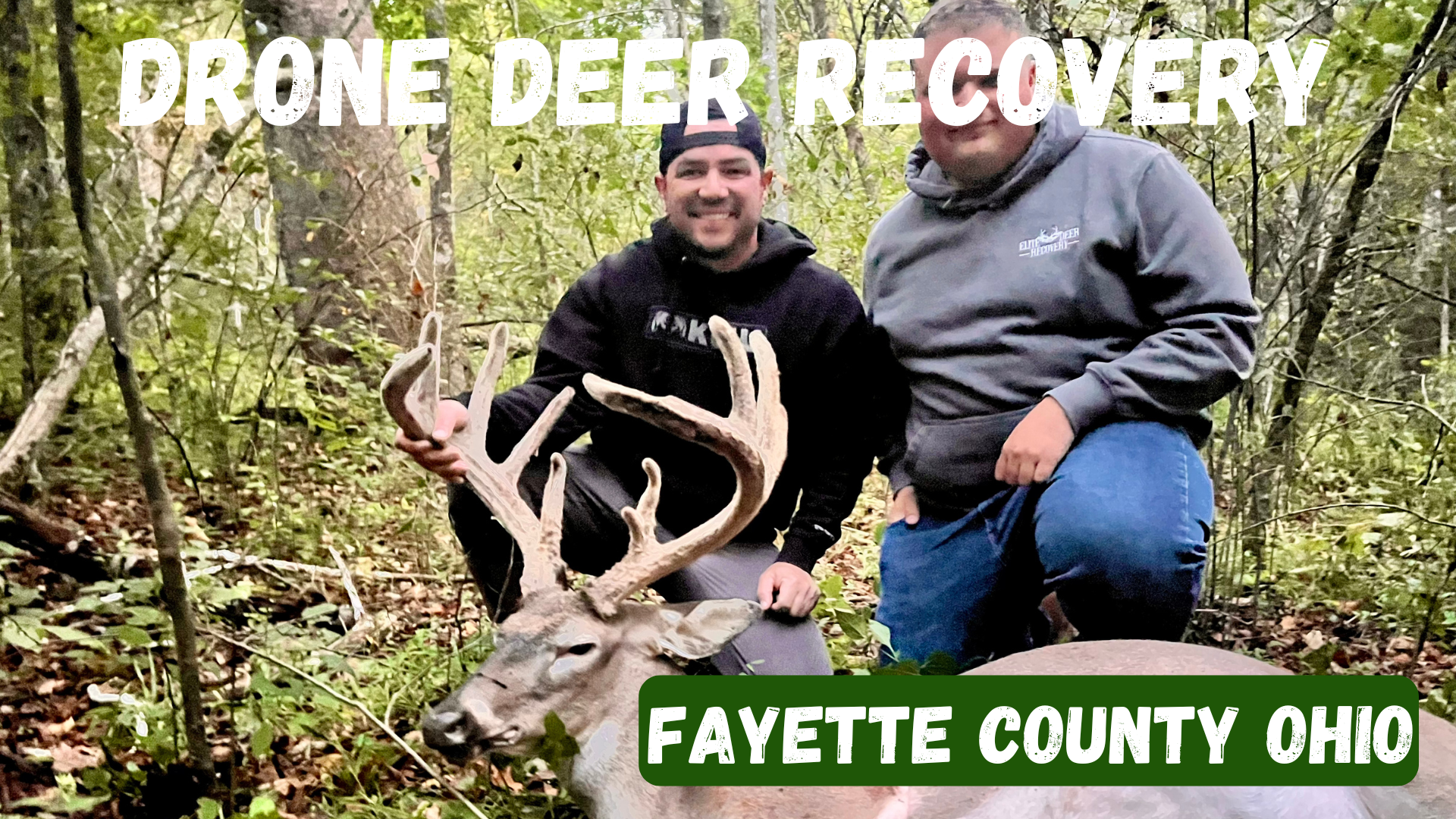
Fayette County, Ohio Drone Deer Recovery Deer Recovery in Fayette County From the fields around Washington Court House to the woods near Jeffersonville, Fayette County is full of hunting opportunities. But when recovery is tough, Elite Deer Recovery provides the tools you need. How Our Drone Deer Recovery Works We show up ready to fly with drones equipped with thermal, zoom, and spotlight. When your deer is located, we’ll send you a GPS pin. When to Reach Out Blood trail disappears Darkness prevents recovery Unsure of the hit Wanting confirmation fast Additional Info We’ve recovered over 225 deer in just two seasons for hunters across Southern Ohio. Areas We Serve in Fayette County We serve hunters in Washington Court House, Jeffersonville, Bloomingburg, New Holland, Good Hope, and nearby areas. Contact Elite Deer Recovery 📞 Call/Text: 937-403-8622
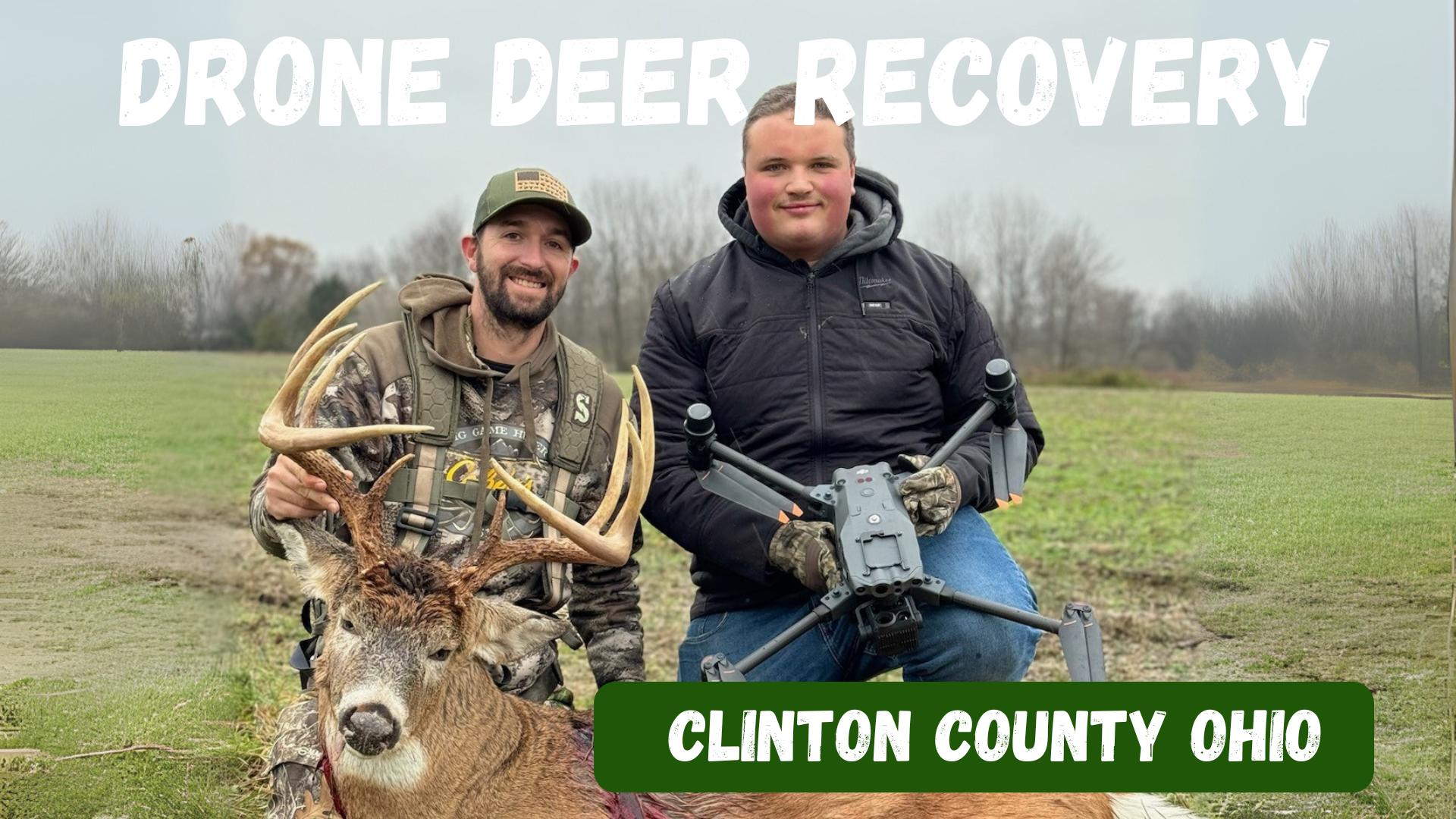
Clinton County, Ohio Drone Deer Recovery Deer Recovery in Clinton County The farmland and timber of Clinton County hold plenty of trophy whitetails. When recovery gets tough, Elite Deer Recovery is just a call away. How Our Drone Deer Recovery Works We use DJI M30T drones equipped with thermal, zoom, and spotlight to find deer quickly. Once located, we send you a GPS pin. When to Reach Out Lost trail After-dark recovery Unsure shot placement Needing peace of mind Additional Info With over 225 recoveries in two seasons, hunters across Ohio trust us. Areas We Serve in Clinton County We proudly serve Wilmington, Blanchester, Sabina, Clarksville, Midland, and surrounding areas. Contact Elite Deer Recovery 📞 Call/Text: 937-403-8622
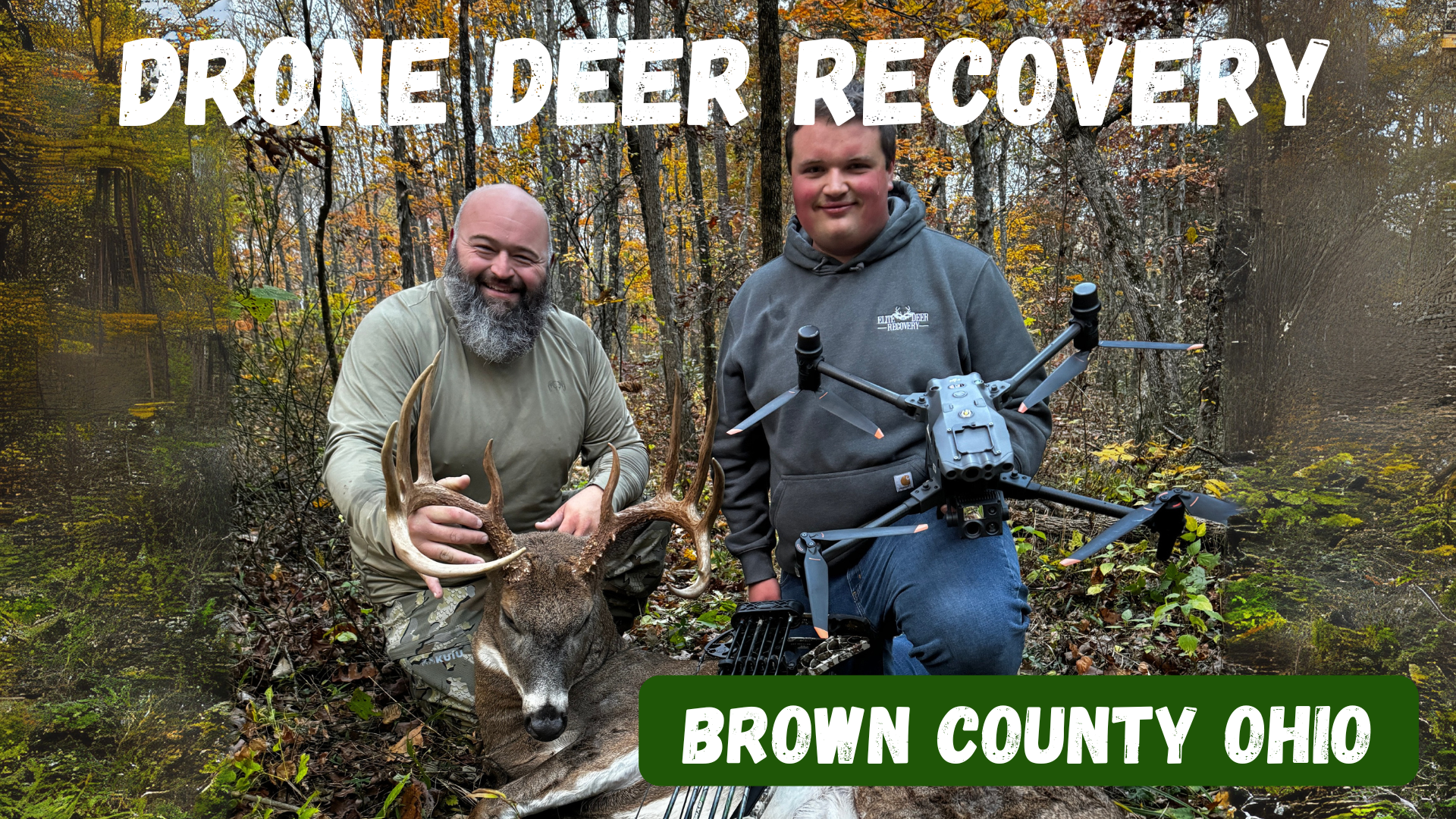
Brown County, Ohio Drone Deer Recovery Deer Recovery in Brown County Brown County’s mix of farmland and timber makes for excellent whitetail hunting. But when tracking goes wrong, Elite Deer Recovery is here to help. Using thermal drones, we make recovery simple, fast, and reliable. How Our Drone Deer Recovery Works Call or text anytime, and we’ll deploy drones to scan the area with thermal imaging and zoom. Once located, we send you a GPS pin for recovery. When to Reach Out Trail is lost in farmland or woods After-dark recoveries Unsure of the hit Peace of mind after a questionable shot Additional Info With over 225 successful recoveries , hunters trust us across Southern Ohio. Areas We Serve in Brown County We help hunters in Georgetown, Mt. Orab, Sardinia, Ripley, Aberdeen, and nearby areas . Contact Elite Deer Recovery 📞 Call/Text: 937-403-8622
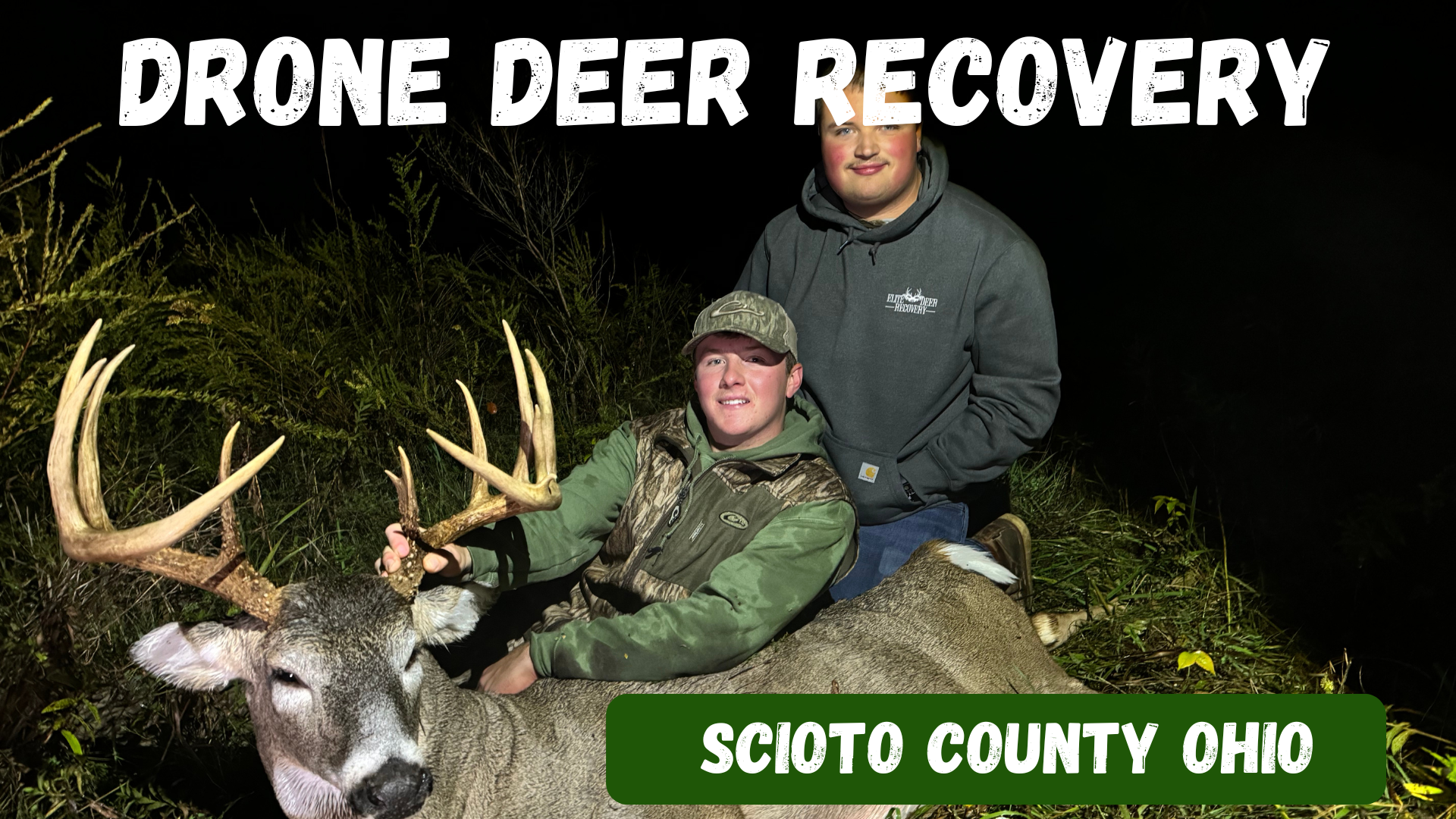
Scioto County, Ohio Drone Deer Recovery Deer Recovery in Scioto County From the Ohio River bottoms to the hardwood hills, Scioto County offers some of the best deer hunting in the state. When the trail gets tough, Elite Deer Recovery is just a call away. Our drones can find heat signatures day or night, in brush or open fields. How Our Drone Deer Recovery Works We show up ready to fly with drones equipped with thermal, zoom, and spotlights. Once your deer is located, we send a GPS pin directly to your phone. When to Reach Out Tracking is lost in thick timber Darkness stops recovery efforts Unsure shot placement Needing peace of mind Additional Info We’ve successfully recovered over 225 deer in just two seasons. We’re available around the clock to help hunters in Scioto County. Areas We Serve in Scioto County We proudly serve hunters around Portsmouth, Lucasville, Wheelersburg, South Webster, Minford, and surrounding areas . Contact Elite Deer Recovery 📞 Call/Text: 937-403-8622
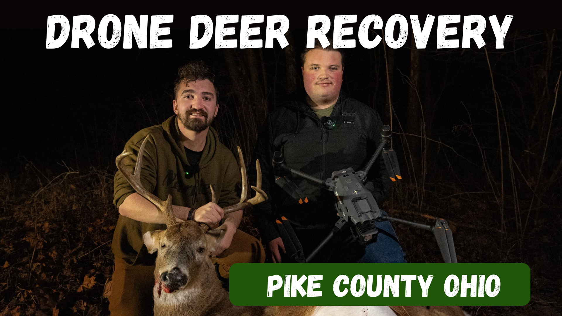
Pike County, Ohio Drone Deer Recovery Deer Recovery in Pike County The woods of Pike County are full of trophy whitetails, but the steep hills and heavy cover make tracking a challenge. Elite Deer Recovery uses thermal drones to find deer quickly, giving hunters the confidence their efforts aren’t wasted. How Our Drone Deer Recovery Works After a call or text, we head to your location, deploy our DJI M30T drones, and scan with thermal, zoom, and spotlight. When your deer is located, we send you a GPS pin for recovery. When to Reach Out Lost trail in dense cover After-dark hunts make recovery tough Unsure shot placement You want peace of mind Additional Info We’ve recovered over 225 deer in just two seasons , helping hunters across Southern Ohio. Available 24/7, we make recovery fast and stress-free. Areas We Serve in Pike County We serve hunters in Waverly, Piketon, Beaver, Jasper, Wakefield, and nearby communities . Contact Elite Deer Recovery 📞 Call/Text: 937-403-8622
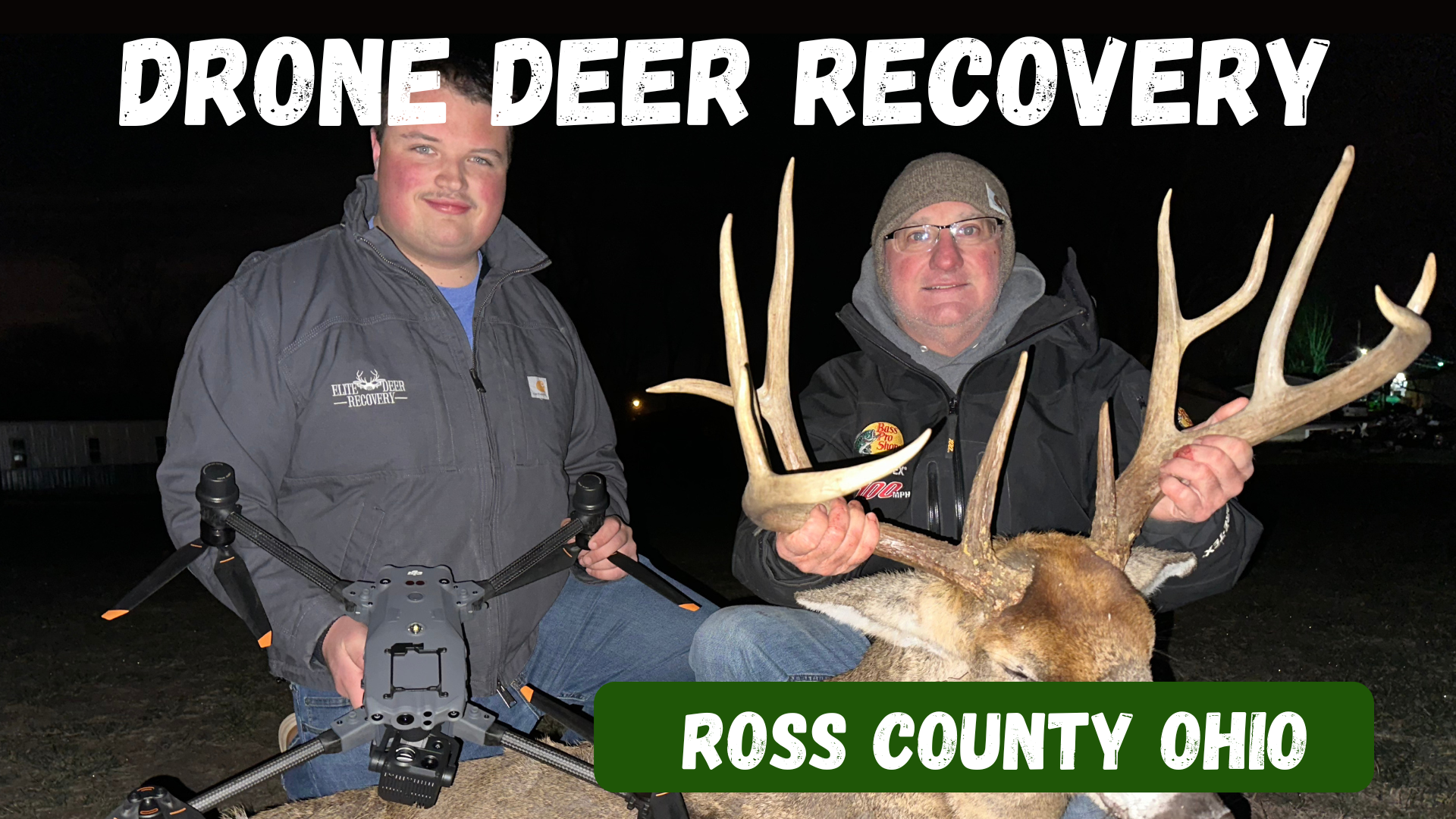
Ross County, Ohio Drone Deer Recovery Deer Recovery in Ross County From the hills outside Chillicothe to the wooded valleys near Bainbridge, Ross County is full of prime whitetail habitat. But when the trail gets tough, Elite Deer Recovery is ready to help. Using thermal drones, we recover deer fast and take the guesswork out of the process. How Our Drone Deer Recovery Works Call or text us anytime. We’ll deploy drones equipped with thermal imaging, 200x zoom, and spotlights to locate your deer. A GPS pin is then dropped directly to your phone for easy recovery. When to Reach Out Trail fades in rough terrain You lose light after evening hunts Unsure shot placement needs confirmation You want confidence your deer is recovered Additional Info Hunters trust us for fast, ethical recoveries. We’ve completed over 225 recoveries in just two seasons and are on call 24/7 during deer season. Areas We Serve in Ross County We help hunters around Chillicothe, Bainbridge, Kingston, Adelphi, Frankfort, and nearby areas . Contact Elite Deer Recovery 📞 Call/Text: 937-403-8622
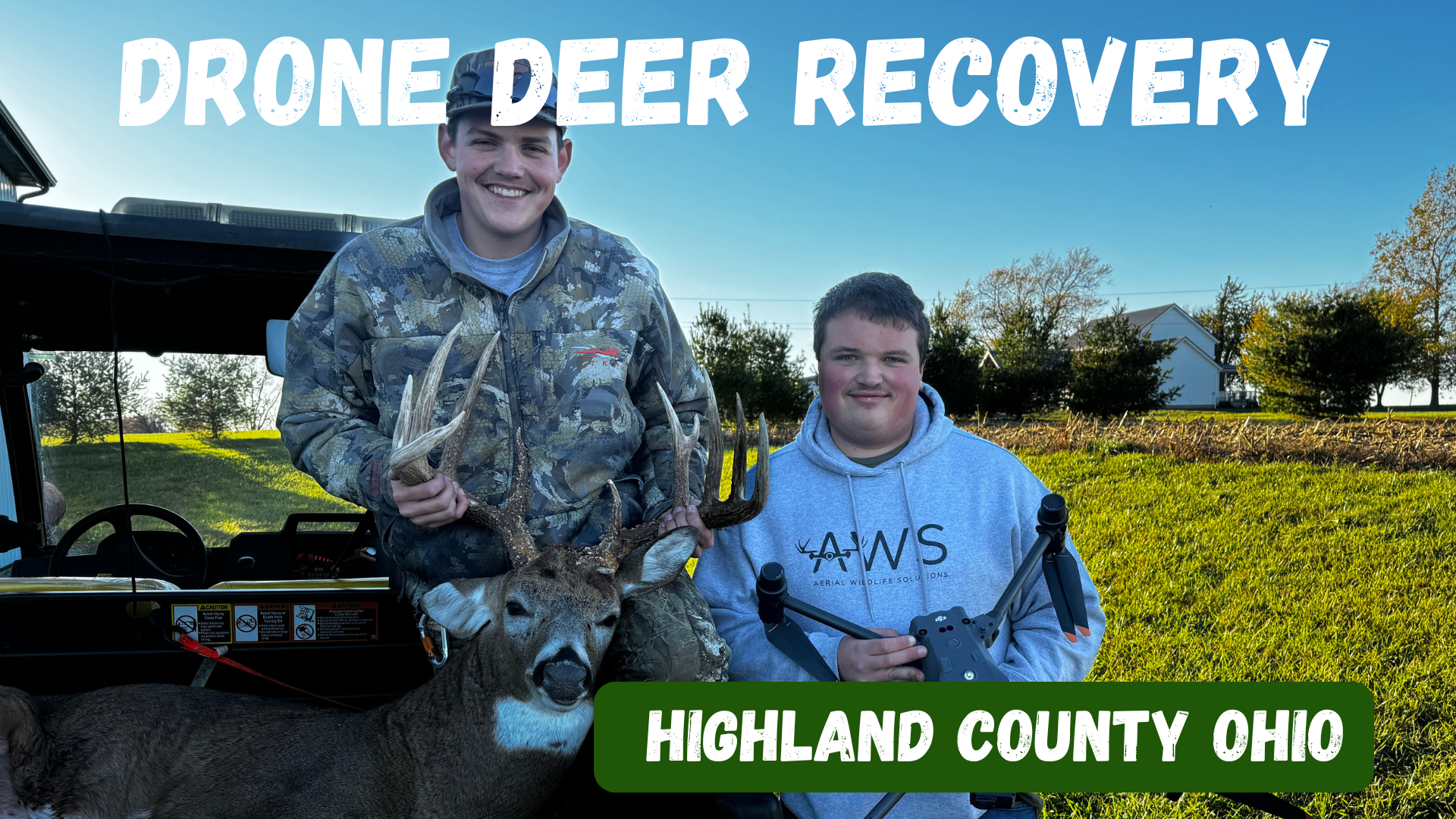
Deer Recovery in Highland County Highland County has long been a favorite destination for whitetail hunters, with its rolling farmland, hardwood ridges, and brushy hollows. But even in prime hunting country, sometimes the trail runs cold. At Elite Deer Recovery, we use thermal drone technology to help hunters across Highland County recover deer that would otherwise be lost. How Our Drone Deer Recovery Works When you call us, we’ll gather details about your hunt, head your way, and deploy our DJI M30T drones. With thermal imaging, powerful zoom, and spotlights, we can locate your deer quickly. Once found, we’ll send you a GPS pin so you can walk right in for recovery. When to Reach Out Blood trail disappears in the brush Darkness makes tracking impossible Unsure of shot placement Looking for peace of mind after a questionable hit Additional Info With over 225 successful recoveries in two seasons, we’re trusted by hunters throughout Southern Ohio. We work day and night, ensuring ethical, stress-free recoveries. Areas We Serve in Highland County We proudly serve hunters across Hillsboro, Greenfield, Leesburg, Lynchburg, Mowrystown, and surrounding areas. Contact Elite Deer Recovery 📞 Call/Text: 937-403-8622
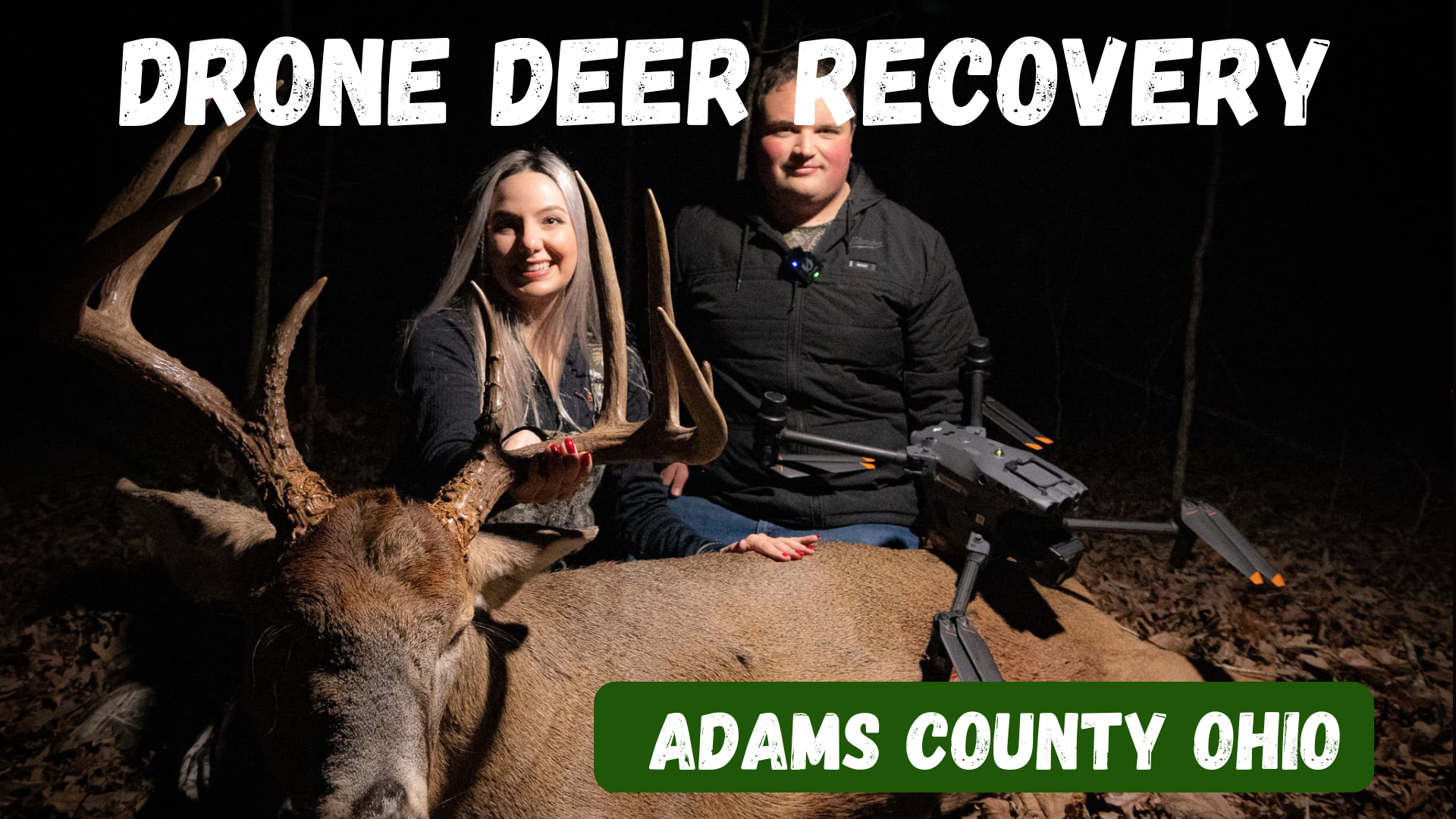
Drone Deer Recovery in Adams County, Ohio Deer Recovery in Adams County Adams County is home to some of the best hunting in Southern Ohio, with rolling hills, dense timber, and big whitetails that draw hunters from all over. But even in the best conditions, not every shot is perfect. Tracking through rugged terrain or losing a blood trail can be tough and often leaves hunters frustrated. That’s where Elite Deer Recovery comes in. With advanced thermal drone technology, we’ve helped countless hunters in Adams County recover their deer quickly, even in the thickest cover and darkest nights. How Our Drone Deer Recovery Works When you need help, the process is simple and stress-free: Call or text us at 937-403-8622 anytime, day or night. We’ll get details about your hunt and location, then head your way. Our DJI M30T drones use thermal imaging, zoom, and spotlights to locate your deer. Once the deer is located, we drop a GPS pin straight to your phone so you can walk right in. When to Reach Out The sooner you reach out, the better the chance of recovery. Hunters call us when: A blood trail disappears in heavy cover. Darkness makes tracking impossible. They’re unsure of shot placement and want confirmation. They need peace of mind after a questionable hit. Additional Info With over 225 successful recoveries in just two seasons , Elite Deer Recovery has become the trusted team for hunters across Southern Ohio. Our drones allow us to recover deer without disturbing the woods or pushing live animals. We’re on call 24/7 during hunting season because we know timing makes all the difference. Areas We Serve in Adams County We proudly serve hunters throughout Adams County, including West Union, Peebles, Seaman, Winchester, Blue Creek, and surrounding areas . No matter where you’re hunting in the county, we can be there to help. Contact Elite Deer Recovery 📍 Based in Southern Ohio 📞 Call/Text: 937-403-8622 When the shot doesn’t go as planned, don’t leave your hunt unfinished. Elite Deer Recovery is here to help hunters in Adams County recover their deer quickly and ethically.