
Leesburg, Ohio
Elite Deer Recovery Offers Game-Changing Tools for Serious Hunters
zander parshall • August 17, 2025
Elite Deer Recovery Offers Game-Changing Tools for Serious Hunters
Elite Deer Recovery Offers Game-Changing Tools for Serious Hunters Via Drones
If you're a serious hunter, you already know success in the field comes down to preparation, strategy, and having the right tools. At Elite Deer Recovery, we provide cutting-edge services designed to give you an advantage before, during, and after the hunt.
From deer recovery to aerial wildlife surveys and custom property maps, we help hunters across the Midwest get the most out of every acre and every shot.
1. Deer Recovery Services When the Shot Doesn’t Go as Planned
Even seasoned hunters can make less-than-perfect shots. When that happens, Elite Deer Recovery is here to help recover your deer quickly, respectfully, and professionally.
We’re based in Highland County, Ohio, and serve surrounding counties including:
- Clinton, Brown, Clermont, Warren, Fayette, Ross, Pike, Scioto, and Adams
With a deep understanding of local terrain and expert tracking skills, we turn uncertain outcomes into recovered harvests—reducing waste and honoring the animal.
Learn more about Deer Recovery
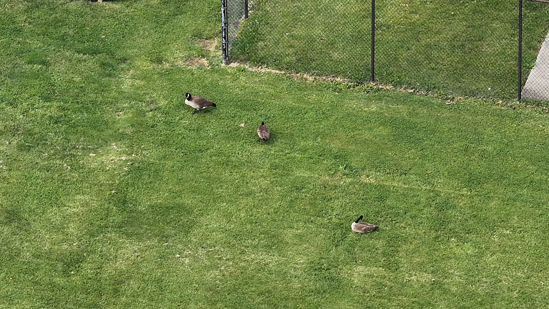
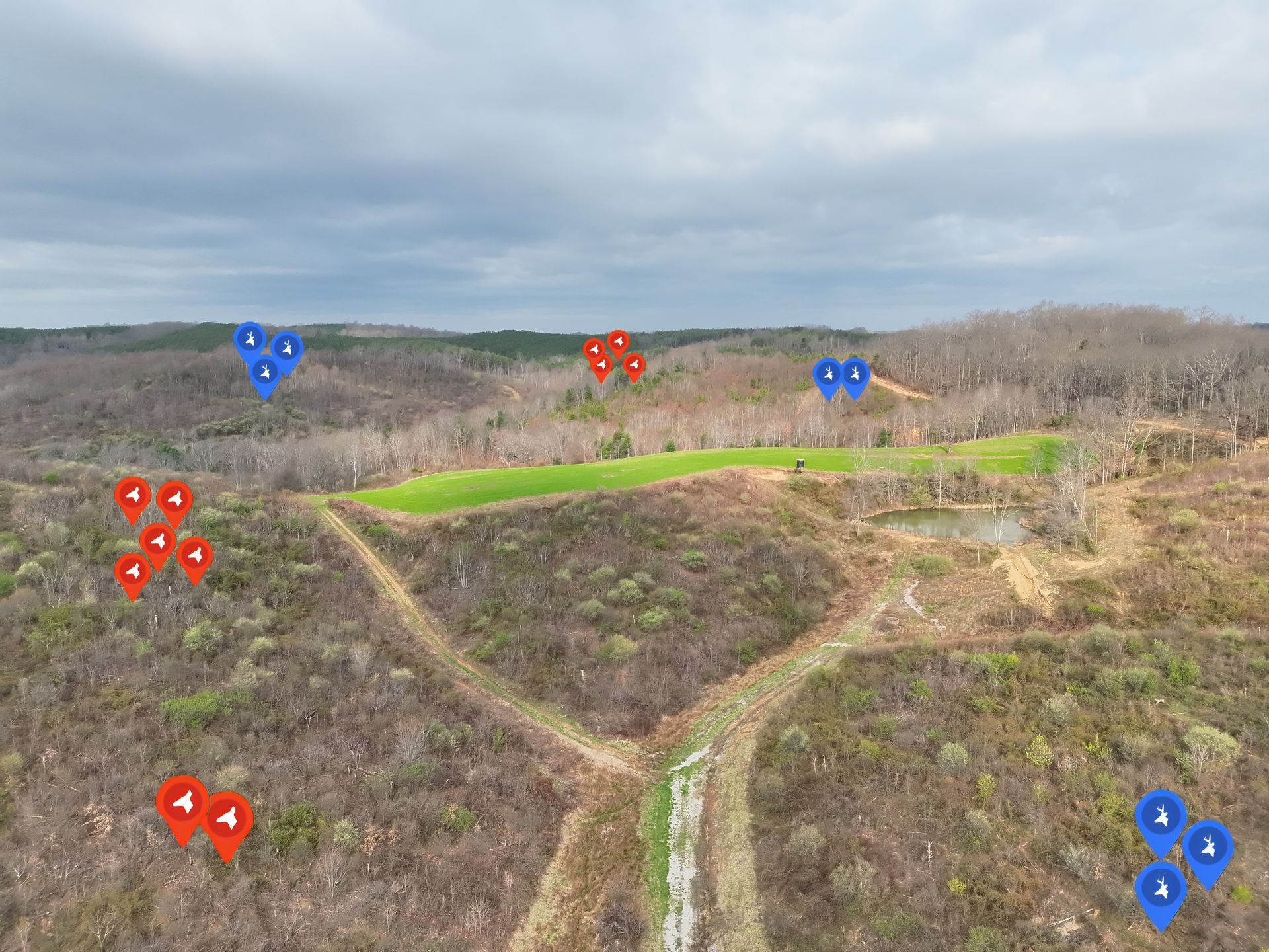
2. Submission-Grade Wildlife Surveys Know Your Herd from Above
Want to truly understand your property, herd movement, and habitat usage? Our submission-grade aerial wildlife surveys give you:
- A bird’s-eye view of your land and game patterns
- High-resolution data to identify bedding areas, food sources, and travel corridors
- Actionable insights to guide habitat improvements, stand placement, and hunting strategy
We use advanced drone technology to deliver precise, efficient surveys for landowners and hunters across:
- Ohio, Indiana, Kentucky, and West Virginia
Learn more about our Submission Grade Wildlife Surveys
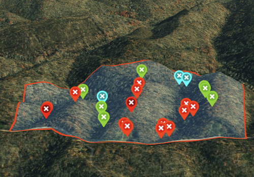
3. Custom Property Maps The Best Detail on the Market
Don’t settle for generic maps. With Elite Deer Recovery’s custom property maps, you get:
- Detailed topography and habitat features
- Accurate mapping of trails, stands, food plots, water sources, and more
- The most accurate and user-friendly views of your property, tailored specifically for hunting and management
Whether you're planning your next hunt or making long-term habitat upgrades, our custom maps give you clarity and control.
Learn more about the highest detailed maps on the market
Book Now Game-Changing Views and Insights Start Here
We’re currently booking for aerial surveys and mapping projects—and recovery calls are ramping up as hunting season approaches.
If you're ready to take your land and hunting strategy to the next level, Elite Deer Recovery is your go-to partner for tools that serious hunters rely on.
📍
Based in Hillsboro, Ohio
📞
Contact us today to get on the schedule
🌐 Serving
OH, IN, KY, and WV for surveys and maps
📍 Deer recovery in
Highland County and surrounding areas
More Marketing Tips, Tricks & Tools
Drone Wildlife Surveys vs. Helicopter Surveys: How We Counted 133,000 Geese Across Ohio
Elite Deer Recovery completed a thermal drone deer survey in Cincinnati, Ohio, helping a Midwest nature center collect deer population data for habitat protection, conservation planning, and wildlife management.
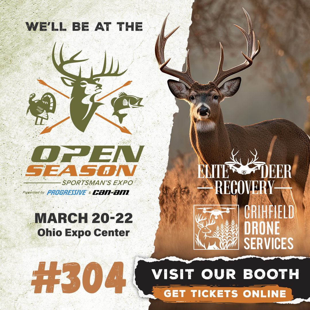
Elite Deer Recovery & Kirksville Drone Services Heading to the 2026 Open Season Sportsman’s Expo
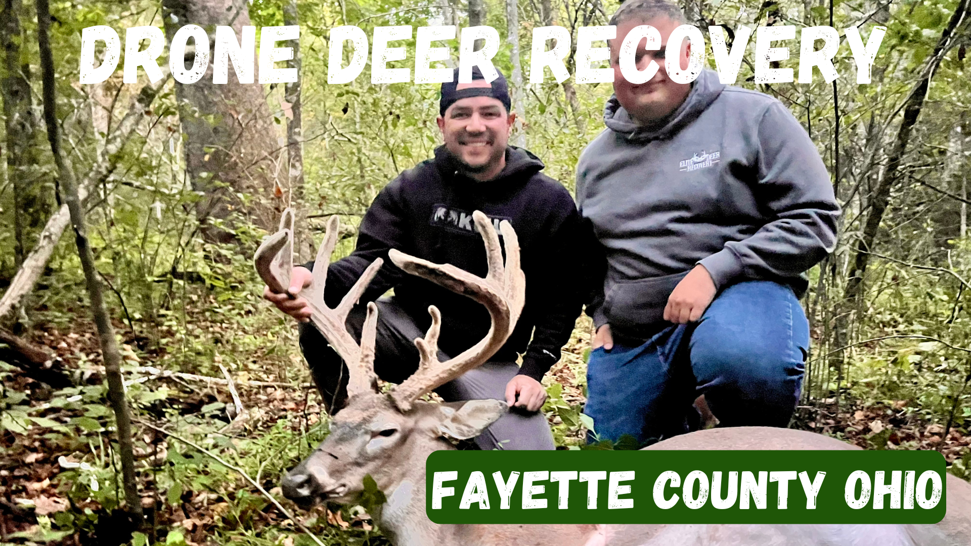
Fayette County, Ohio Drone Deer Recovery Deer Recovery in Fayette County From the fields around Washington Court House to the woods near Jeffersonville, Fayette County is full of hunting opportunities. But when recovery is tough, Elite Deer Recovery provides the tools you need. How Our Drone Deer Recovery Works We show up ready to fly with drones equipped with thermal, zoom, and spotlight. When your deer is located, we’ll send you a GPS pin. When to Reach Out Blood trail disappears Darkness prevents recovery Unsure of the hit Wanting confirmation fast Additional Info We’ve recovered over 225 deer in just two seasons for hunters across Southern Ohio. Areas We Serve in Fayette County We serve hunters in Washington Court House, Jeffersonville, Bloomingburg, New Holland, Good Hope, and nearby areas. Contact Elite Deer Recovery 📞 Call/Text: 937-403-8622
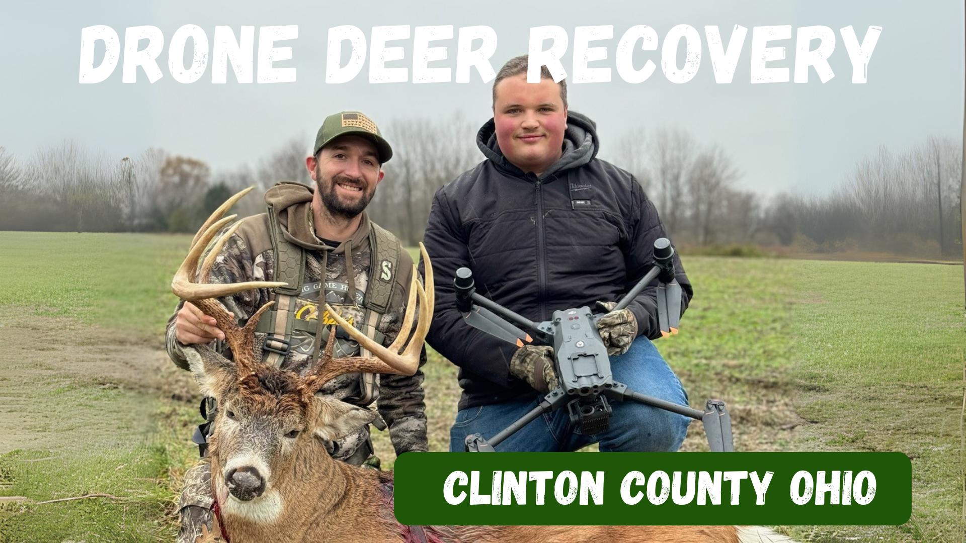
Clinton County, Ohio Drone Deer Recovery Deer Recovery in Clinton County The farmland and timber of Clinton County hold plenty of trophy whitetails. When recovery gets tough, Elite Deer Recovery is just a call away. How Our Drone Deer Recovery Works We use DJI M30T drones equipped with thermal, zoom, and spotlight to find deer quickly. Once located, we send you a GPS pin. When to Reach Out Lost trail After-dark recovery Unsure shot placement Needing peace of mind Additional Info With over 225 recoveries in two seasons, hunters across Ohio trust us. Areas We Serve in Clinton County We proudly serve Wilmington, Blanchester, Sabina, Clarksville, Midland, and surrounding areas. Contact Elite Deer Recovery 📞 Call/Text: 937-403-8622
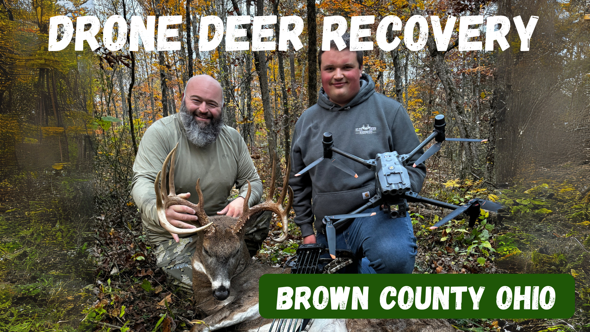
Brown County, Ohio Drone Deer Recovery Deer Recovery in Brown County Brown County’s mix of farmland and timber makes for excellent whitetail hunting. But when tracking goes wrong, Elite Deer Recovery is here to help. Using thermal drones, we make recovery simple, fast, and reliable. How Our Drone Deer Recovery Works Call or text anytime, and we’ll deploy drones to scan the area with thermal imaging and zoom. Once located, we send you a GPS pin for recovery. When to Reach Out Trail is lost in farmland or woods After-dark recoveries Unsure of the hit Peace of mind after a questionable shot Additional Info With over 225 successful recoveries , hunters trust us across Southern Ohio. Areas We Serve in Brown County We help hunters in Georgetown, Mt. Orab, Sardinia, Ripley, Aberdeen, and nearby areas . Contact Elite Deer Recovery 📞 Call/Text: 937-403-8622
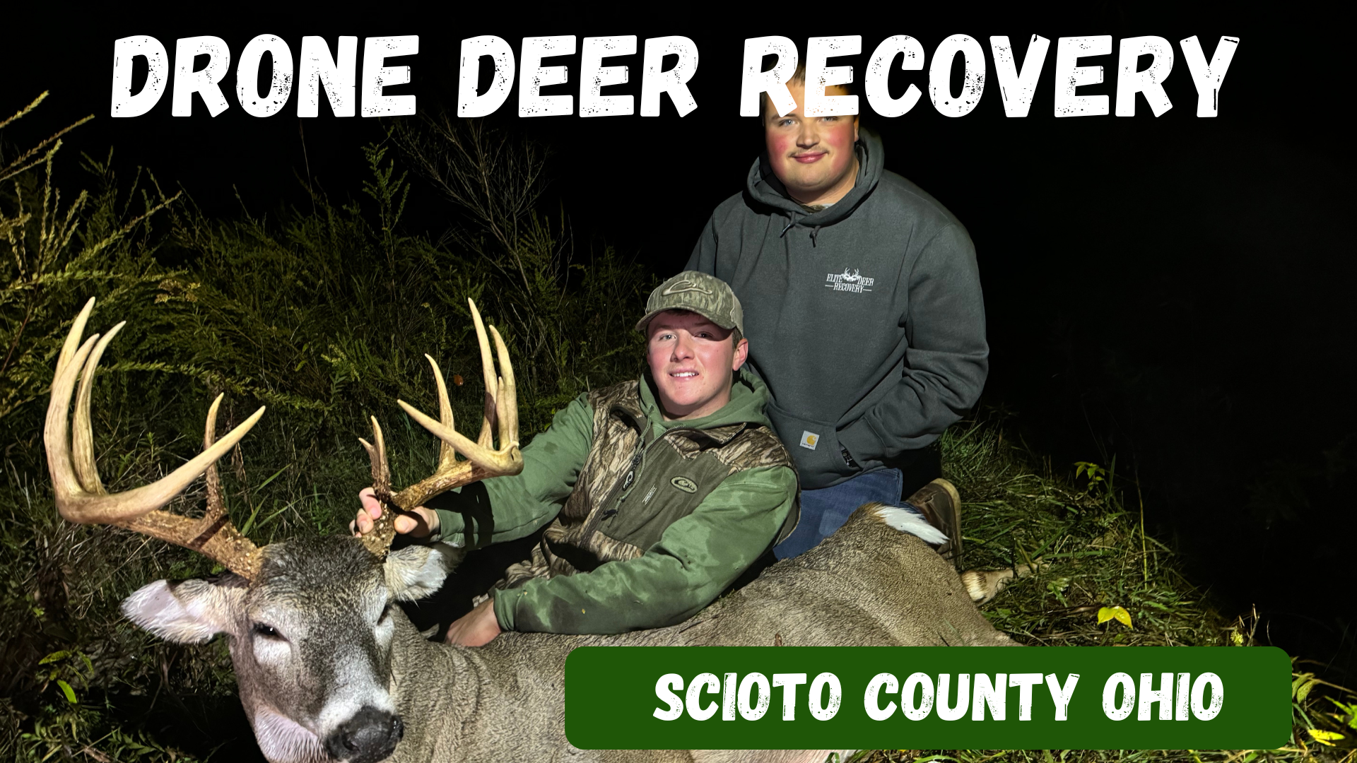
Scioto County, Ohio Drone Deer Recovery Deer Recovery in Scioto County From the Ohio River bottoms to the hardwood hills, Scioto County offers some of the best deer hunting in the state. When the trail gets tough, Elite Deer Recovery is just a call away. Our drones can find heat signatures day or night, in brush or open fields. How Our Drone Deer Recovery Works We show up ready to fly with drones equipped with thermal, zoom, and spotlights. Once your deer is located, we send a GPS pin directly to your phone. When to Reach Out Tracking is lost in thick timber Darkness stops recovery efforts Unsure shot placement Needing peace of mind Additional Info We’ve successfully recovered over 225 deer in just two seasons. We’re available around the clock to help hunters in Scioto County. Areas We Serve in Scioto County We proudly serve hunters around Portsmouth, Lucasville, Wheelersburg, South Webster, Minford, and surrounding areas . Contact Elite Deer Recovery 📞 Call/Text: 937-403-8622
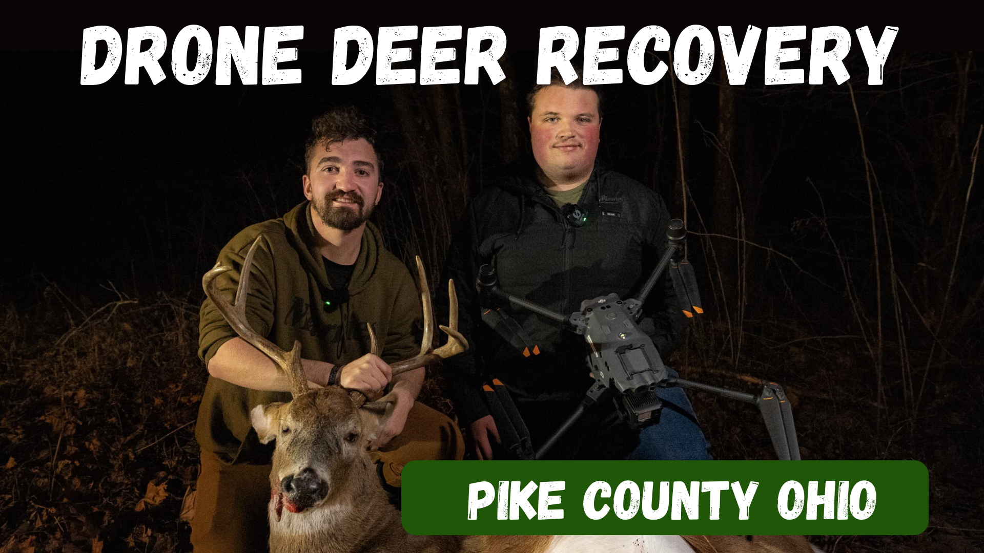
Pike County, Ohio Drone Deer Recovery Deer Recovery in Pike County The woods of Pike County are full of trophy whitetails, but the steep hills and heavy cover make tracking a challenge. Elite Deer Recovery uses thermal drones to find deer quickly, giving hunters the confidence their efforts aren’t wasted. How Our Drone Deer Recovery Works After a call or text, we head to your location, deploy our DJI M30T drones, and scan with thermal, zoom, and spotlight. When your deer is located, we send you a GPS pin for recovery. When to Reach Out Lost trail in dense cover After-dark hunts make recovery tough Unsure shot placement You want peace of mind Additional Info We’ve recovered over 225 deer in just two seasons , helping hunters across Southern Ohio. Available 24/7, we make recovery fast and stress-free. Areas We Serve in Pike County We serve hunters in Waverly, Piketon, Beaver, Jasper, Wakefield, and nearby communities . Contact Elite Deer Recovery 📞 Call/Text: 937-403-8622
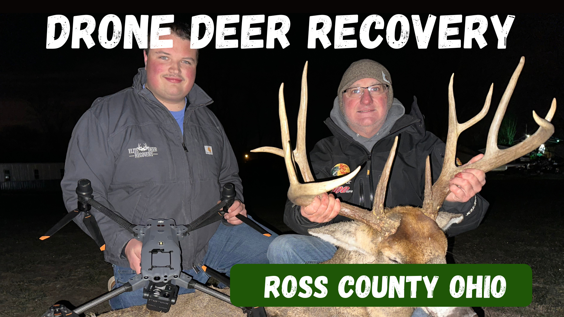
Ross County, Ohio Drone Deer Recovery Deer Recovery in Ross County From the hills outside Chillicothe to the wooded valleys near Bainbridge, Ross County is full of prime whitetail habitat. But when the trail gets tough, Elite Deer Recovery is ready to help. Using thermal drones, we recover deer fast and take the guesswork out of the process. How Our Drone Deer Recovery Works Call or text us anytime. We’ll deploy drones equipped with thermal imaging, 200x zoom, and spotlights to locate your deer. A GPS pin is then dropped directly to your phone for easy recovery. When to Reach Out Trail fades in rough terrain You lose light after evening hunts Unsure shot placement needs confirmation You want confidence your deer is recovered Additional Info Hunters trust us for fast, ethical recoveries. We’ve completed over 225 recoveries in just two seasons and are on call 24/7 during deer season. Areas We Serve in Ross County We help hunters around Chillicothe, Bainbridge, Kingston, Adelphi, Frankfort, and nearby areas . Contact Elite Deer Recovery 📞 Call/Text: 937-403-8622
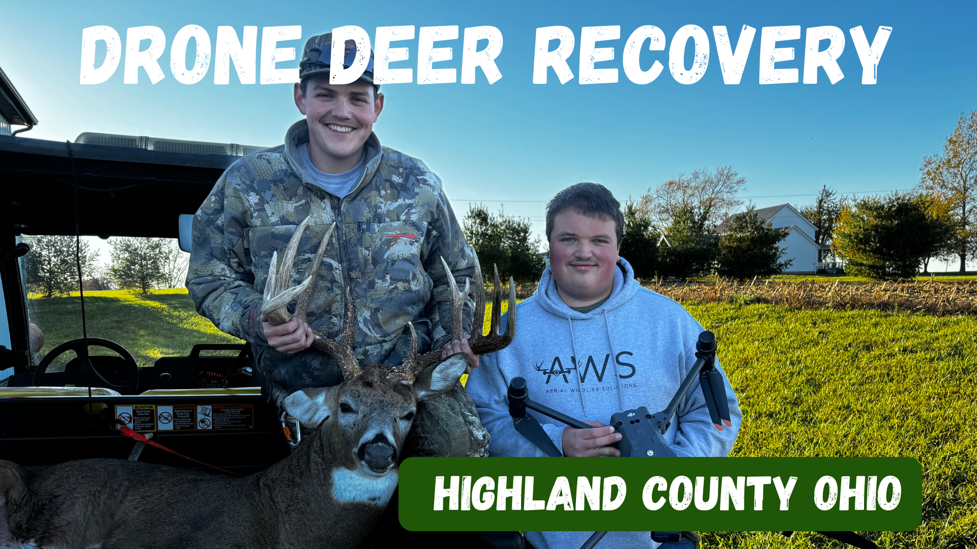
Deer Recovery in Highland County Highland County has long been a favorite destination for whitetail hunters, with its rolling farmland, hardwood ridges, and brushy hollows. But even in prime hunting country, sometimes the trail runs cold. At Elite Deer Recovery, we use thermal drone technology to help hunters across Highland County recover deer that would otherwise be lost. How Our Drone Deer Recovery Works When you call us, we’ll gather details about your hunt, head your way, and deploy our DJI M30T drones. With thermal imaging, powerful zoom, and spotlights, we can locate your deer quickly. Once found, we’ll send you a GPS pin so you can walk right in for recovery. When to Reach Out Blood trail disappears in the brush Darkness makes tracking impossible Unsure of shot placement Looking for peace of mind after a questionable hit Additional Info With over 225 successful recoveries in two seasons, we’re trusted by hunters throughout Southern Ohio. We work day and night, ensuring ethical, stress-free recoveries. Areas We Serve in Highland County We proudly serve hunters across Hillsboro, Greenfield, Leesburg, Lynchburg, Mowrystown, and surrounding areas. Contact Elite Deer Recovery 📞 Call/Text: 937-403-8622