
Leesburg, Ohio
Thermal Drone Deer Survey Helps Ohio Nature Center Improve Wildlife Management
zander parshall • June 1, 2026
Thermal Drone Deer Survey Helps Midwest Nature Center Improve Wildlife Management
Thermal Drone Deer Survey in Ohio: A Better Way to Count Deer
Accurate Deer Population Data Matters
Accurate deer population data is one of the most valuable tools a land manager can have when making decisions about conservation, habitat protection, and long-term wildlife management. In January, Elite Deer Recovery completed a thermal drone deer survey for a Midwest nature center in the Cincinnati, Ohio area. The goal of the project was to provide a clearer deer population estimate across a large conservation-focused property so the organization could make more informed management decisions.
Project Overview
The survey covered approximately 1,800 total acres across two separate survey areas. The property included a mix of habitat types, including wooded areas, fields, bedding zones, water sources, and conservation land. Because deer activity can vary across different habitat types, it was important to survey the property in a way that gave the client practical, location-based information instead of just a rough estimate.
Why the Client Chose a Drone Deer Survey
The nature center had completed deer surveys in previous years using aircraft. Those surveys were flown at night from approximately 2,000 feet. For this project, the client wanted to explore whether a drone deer survey could provide more detailed and usable data. Elite Deer Recovery used thermal drone technology to help identify deer across the property while also documenting other wildlife activity observed during the survey.
Why Deer Surveys Are Important for Conservation
For conservation properties, deer numbers matter. When deer populations are too high, they can place pressure on native plants, young trees, restoration areas, and sensitive habitat. Without reliable population data, it can be difficult for land managers to make informed decisions about habitat protection and long-term planning. This deer survey was completed to help the client better understand deer density, support management planning, and protect the different habitat types found across the property.
Thermal Drone Survey Advantages
A thermal drone deer survey offers several advantages compared to traditional aerial surveys. Previous plane surveys on the property were completed at night from a much higher altitude. For this project, Elite Deer Recovery flew during the day using drones equipped with both thermal and visual cameras. This allowed the team to section the property, fly controlled grid patterns, and review thermal signatures along with visual imagery when possible.
Drone Equipment Used
Elite Deer Recovery used DJI Matrice 4T and DJI Matrice 4TD drones for this project. Both drones were equipped with thermal and visual camera capabilities. The thermal camera helped detect warm-bodied animals against the colder winter landscape, while the visual camera helped provide additional context and documentation. This combination is especially useful during winter surveys, when cold temperatures and snow on the ground can create stronger contrast between deer and the surrounding environment.
Winter Survey Conditions
The survey was completed in January during cold, windy, and snowy conditions, with snow already on the ground. While those conditions can make fieldwork more challenging, they can also be helpful for thermal wildlife detection. Snow and cold temperatures can make deer stand out more clearly in thermal imagery, especially when the property includes wooded areas, fields, bedding zones, and water sources.
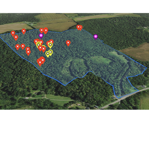
How the Survey Was Completed
To complete the survey, Elite Deer Recovery divided the property into sections and flew grid patterns across the designated areas. This organized approach helped ensure that each survey area was covered consistently. Instead of randomly flying over the property, the team used a structured flight pattern designed to capture useful data across the full survey area.
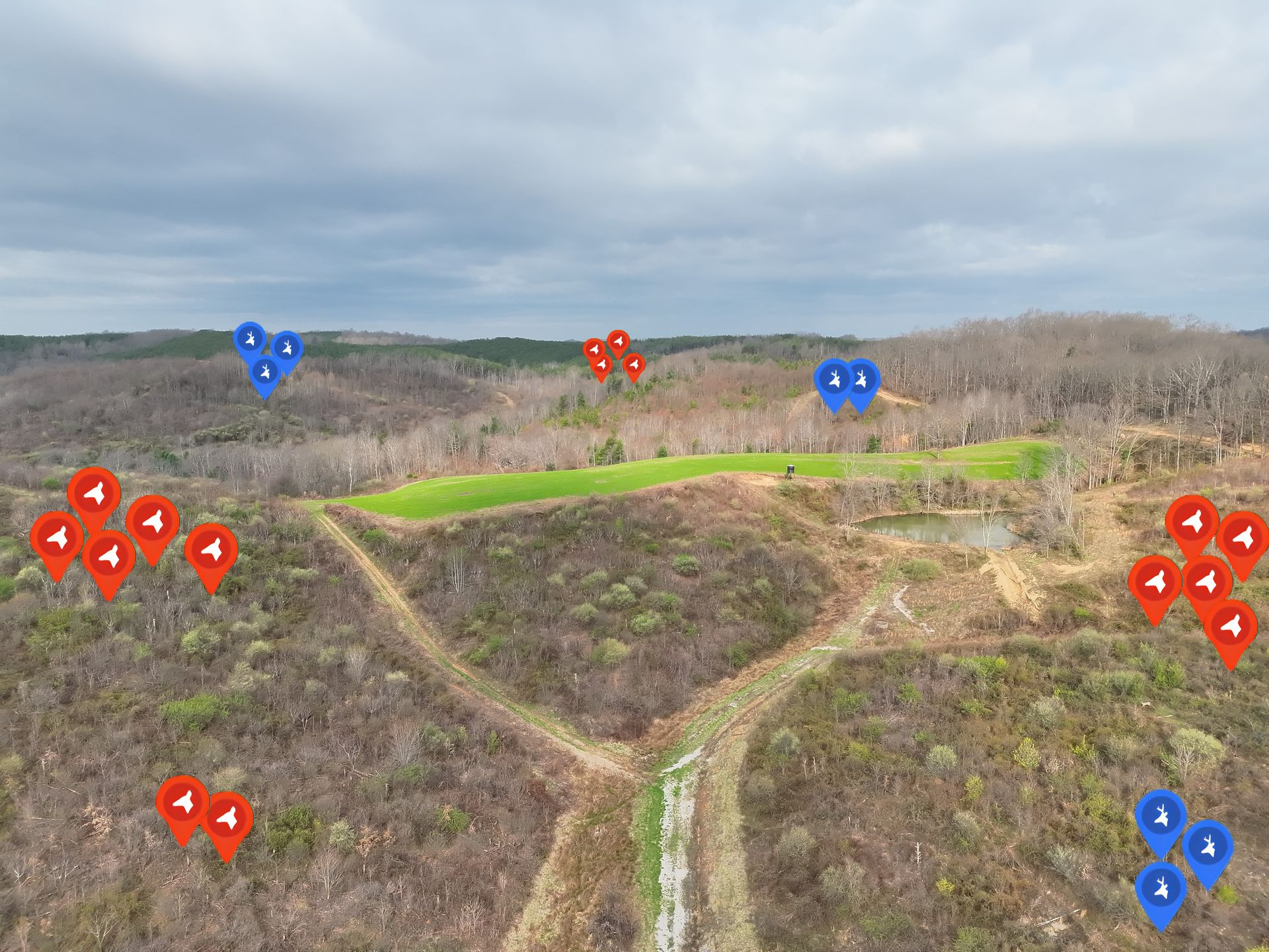
Survey Area One Results
The first survey area was an approximately 800-acre farm section. On this section, Elite Deer Recovery documented 88 does on the property and 4 does off the property, for a total of 92 does observed. The team also documented 16 bucks on the property and 0 bucks off the property, for a total of 16 bucks observed. In total, 104 deer were found on the property, with 108 deer observed overall when including deer just off the property. The deer density for this section was approximately 14.1 deer per 100 acres. Two coyotes were also observed during this portion of the drone wildlife survey.
Survey Area Two Results
The second survey area was approximately 1,000 acres. On this section, Elite Deer Recovery documented 79 does on the property and 9 does off the property, for a total of 88 does observed. The team also documented 9 bucks on the property and 0 bucks off the property, for a total of 9 bucks observed. In total, 88 deer were found on the property, with 97 deer observed overall when including deer just off the property. The deer density for this section was approximately 8.6 deer per 100 acres. Other wildlife observed during the overall survey included coyotes, raccoons, and turkeys.
What the Client Received
The completed drone deer survey gave the client information they could actually use. After the flights were completed, Elite Deer Recovery provided a report, map, images, video, and a count summary. These deliverables helped the client review where deer were located, how many deer were observed, and how deer were using different parts of the property. For a conservation-focused organization, that kind of information can be extremely valuable when making habitat and wildlife management decisions.
Why Deer Surveys Are Valuable
This project also showed why deer surveys are becoming an important tool for nature centers, parks, municipalities, conservation groups, private landowners, and land managers. A professional deer survey can help answer important questions about deer numbers, deer density, habitat use, and wildlife activity. When paired with thermal drone technology, the survey can provide a more detailed view of how deer are using a property without relying only on ground observations or high-altitude aircraft surveys.
Drone Wildlife Surveys Across Ohio, Kentucky, and Indiana
Elite Deer Recovery provides drone deer survey and drone wildlife survey services across the Midwest, with a primary focus on Ohio, Kentucky, and Indiana. These surveys are useful for nature centers, parks, land managers, HOAs, conservation groups, municipalities, and private landowners who need better data for management planning. Whether the goal is habitat protection, deer population monitoring, or long-term conservation planning, a thermal drone deer survey can provide valuable information.
Why Choose Elite Deer Recovery
A successful survey requires more than simply flying a drone. It requires an understanding of wildlife behavior, terrain, habitat, thermal imagery, flight planning, and how to turn field observations into a useful final report. Elite Deer Recovery combines field experience with advanced drone technology to help clients collect better wildlife data and make better management decisions.
Watch the Survey Video
We also recorded a YouTube video from this project showing how the survey was completed and how thermal drone technology can be used for deer population estimates. The video gives viewers a behind-the-scenes look at the process and helps explain why drone wildlife surveys can be so valuable for conservation properties and land managers. CNC Nature Center Video
Book a Drone Deer Survey
If you need accurate deer population data for your property, Elite Deer Recovery can help. We provide thermal drone deer surveys, drone wildlife surveys, and Midwest deer surveys for clients across Ohio, Kentucky, Indiana, and surrounding states. Whether you manage a nature center, park, large property, municipal land, conservation area, or private farm, our team can help you collect the data you need for smarter land and habitat management.
Call Elite Deer Recovery today or fill out our online form to book a drone deer survey and learn how thermal drone technology can help you better understand the wildlife on your property.
More Marketing Tips, Tricks & Tools
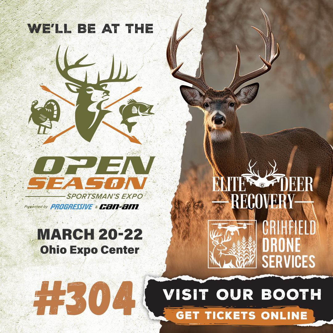
Elite Deer Recovery & Kirksville Drone Services Heading to the 2026 Open Season Sportsman’s Expo
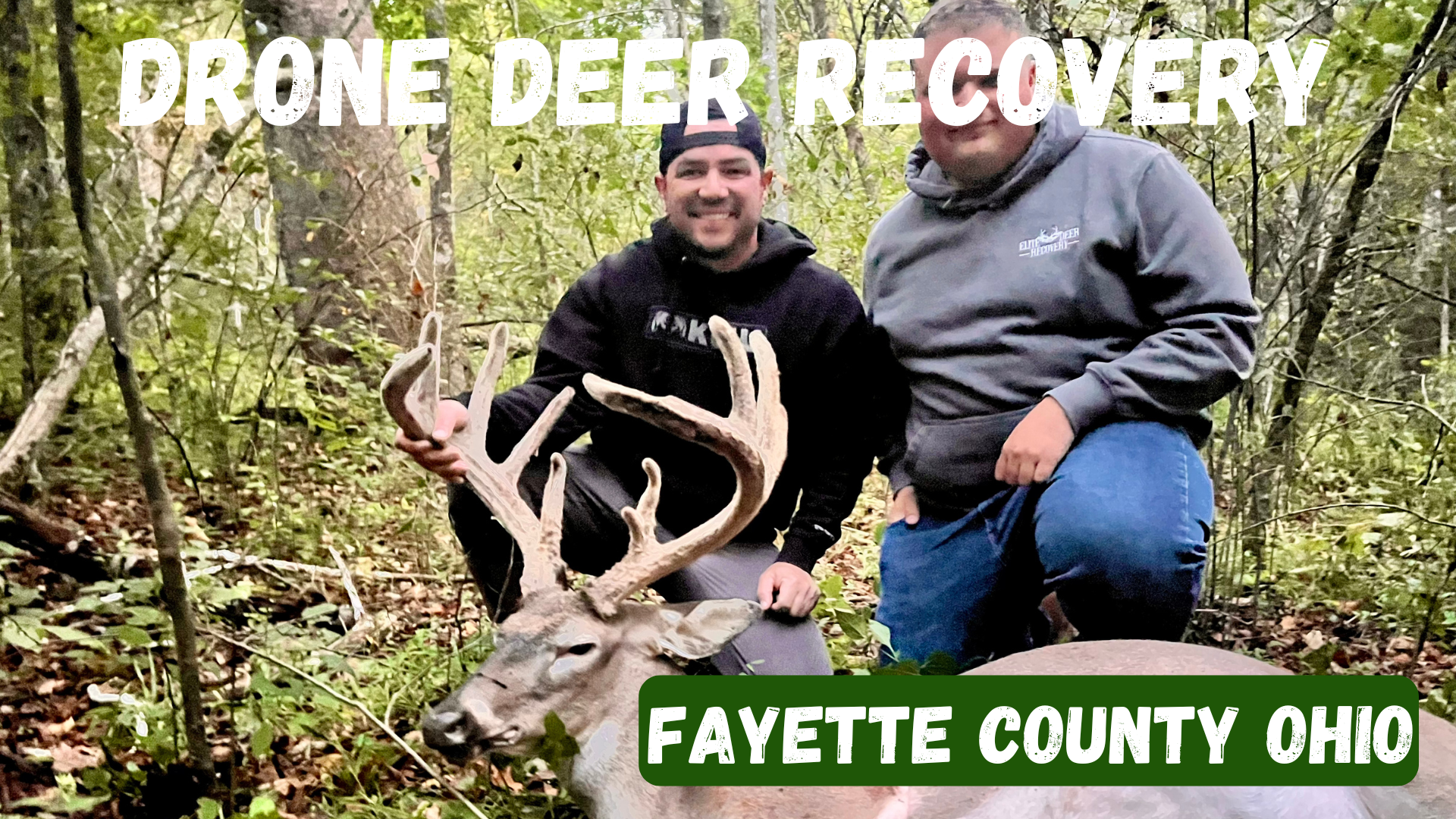
Fayette County, Ohio Drone Deer Recovery Deer Recovery in Fayette County From the fields around Washington Court House to the woods near Jeffersonville, Fayette County is full of hunting opportunities. But when recovery is tough, Elite Deer Recovery provides the tools you need. How Our Drone Deer Recovery Works We show up ready to fly with drones equipped with thermal, zoom, and spotlight. When your deer is located, we’ll send you a GPS pin. When to Reach Out Blood trail disappears Darkness prevents recovery Unsure of the hit Wanting confirmation fast Additional Info We’ve recovered over 225 deer in just two seasons for hunters across Southern Ohio. Areas We Serve in Fayette County We serve hunters in Washington Court House, Jeffersonville, Bloomingburg, New Holland, Good Hope, and nearby areas. Contact Elite Deer Recovery 📞 Call/Text: 937-403-8622
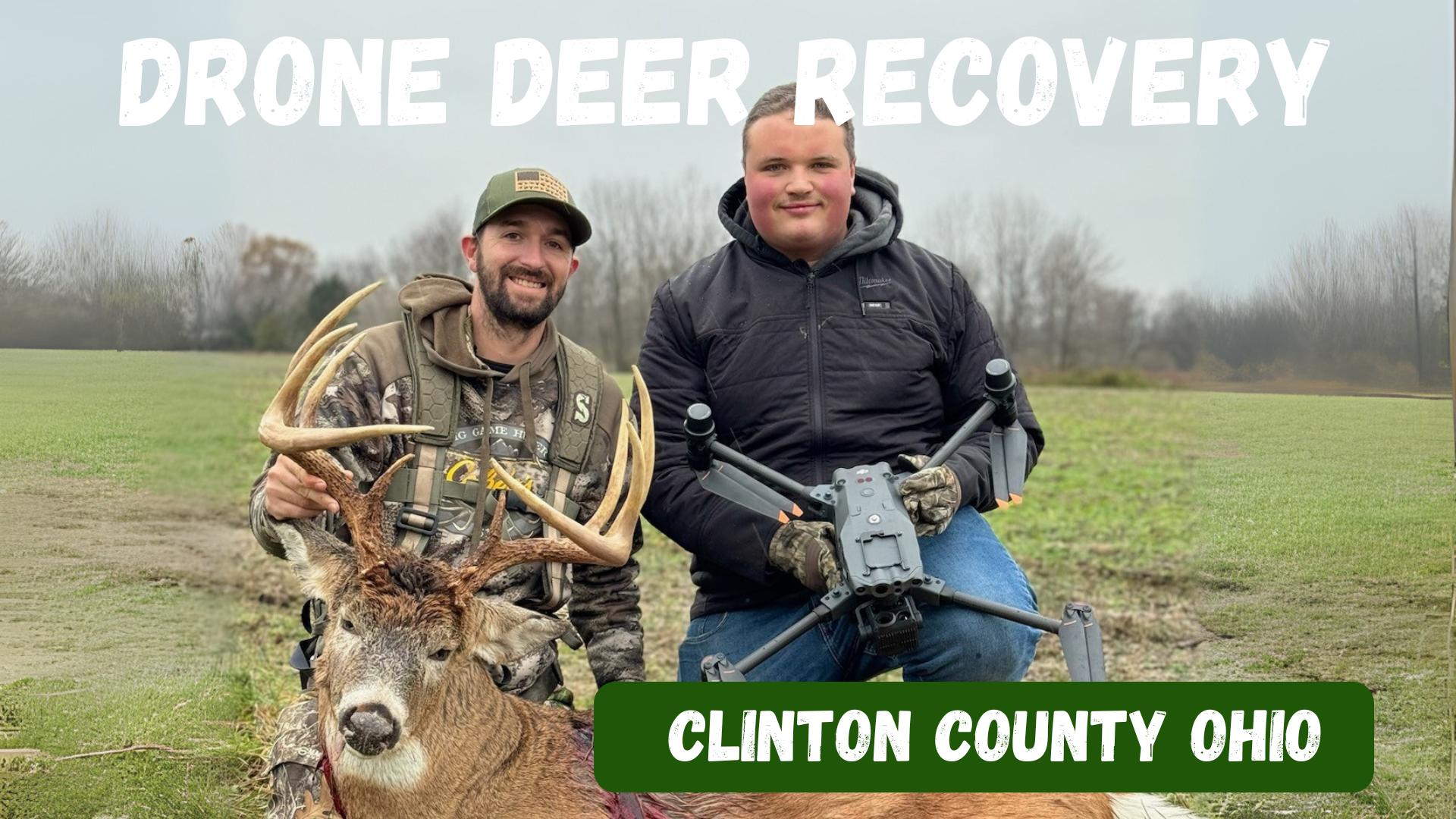
Clinton County, Ohio Drone Deer Recovery Deer Recovery in Clinton County The farmland and timber of Clinton County hold plenty of trophy whitetails. When recovery gets tough, Elite Deer Recovery is just a call away. How Our Drone Deer Recovery Works We use DJI M30T drones equipped with thermal, zoom, and spotlight to find deer quickly. Once located, we send you a GPS pin. When to Reach Out Lost trail After-dark recovery Unsure shot placement Needing peace of mind Additional Info With over 225 recoveries in two seasons, hunters across Ohio trust us. Areas We Serve in Clinton County We proudly serve Wilmington, Blanchester, Sabina, Clarksville, Midland, and surrounding areas. Contact Elite Deer Recovery 📞 Call/Text: 937-403-8622
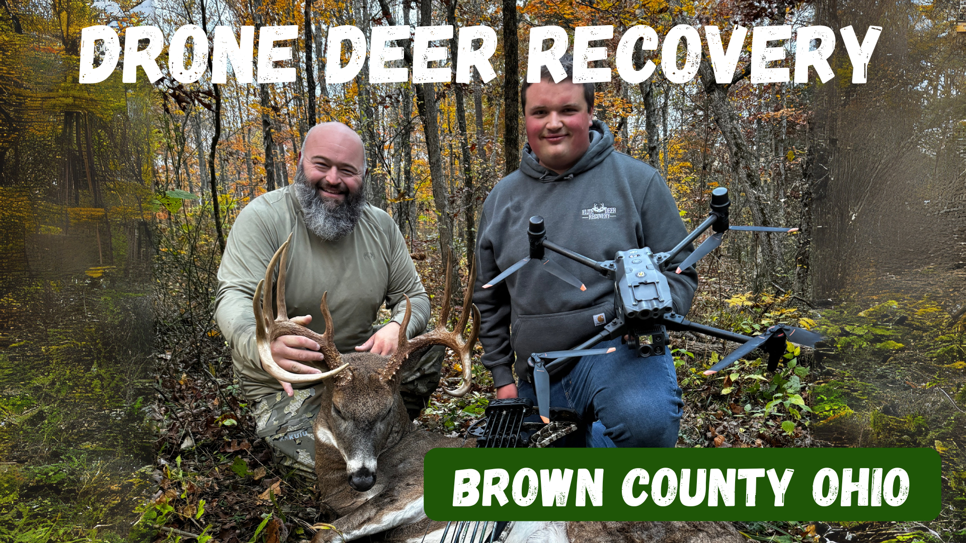
Brown County, Ohio Drone Deer Recovery Deer Recovery in Brown County Brown County’s mix of farmland and timber makes for excellent whitetail hunting. But when tracking goes wrong, Elite Deer Recovery is here to help. Using thermal drones, we make recovery simple, fast, and reliable. How Our Drone Deer Recovery Works Call or text anytime, and we’ll deploy drones to scan the area with thermal imaging and zoom. Once located, we send you a GPS pin for recovery. When to Reach Out Trail is lost in farmland or woods After-dark recoveries Unsure of the hit Peace of mind after a questionable shot Additional Info With over 225 successful recoveries , hunters trust us across Southern Ohio. Areas We Serve in Brown County We help hunters in Georgetown, Mt. Orab, Sardinia, Ripley, Aberdeen, and nearby areas . Contact Elite Deer Recovery 📞 Call/Text: 937-403-8622
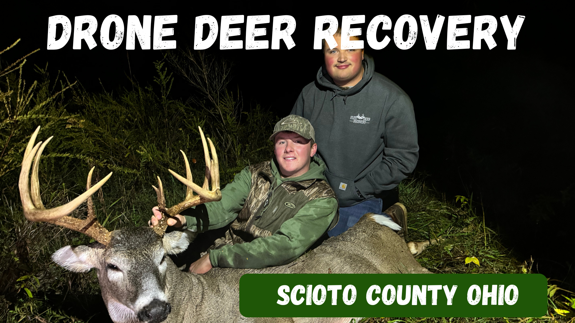
Scioto County, Ohio Drone Deer Recovery Deer Recovery in Scioto County From the Ohio River bottoms to the hardwood hills, Scioto County offers some of the best deer hunting in the state. When the trail gets tough, Elite Deer Recovery is just a call away. Our drones can find heat signatures day or night, in brush or open fields. How Our Drone Deer Recovery Works We show up ready to fly with drones equipped with thermal, zoom, and spotlights. Once your deer is located, we send a GPS pin directly to your phone. When to Reach Out Tracking is lost in thick timber Darkness stops recovery efforts Unsure shot placement Needing peace of mind Additional Info We’ve successfully recovered over 225 deer in just two seasons. We’re available around the clock to help hunters in Scioto County. Areas We Serve in Scioto County We proudly serve hunters around Portsmouth, Lucasville, Wheelersburg, South Webster, Minford, and surrounding areas . Contact Elite Deer Recovery 📞 Call/Text: 937-403-8622
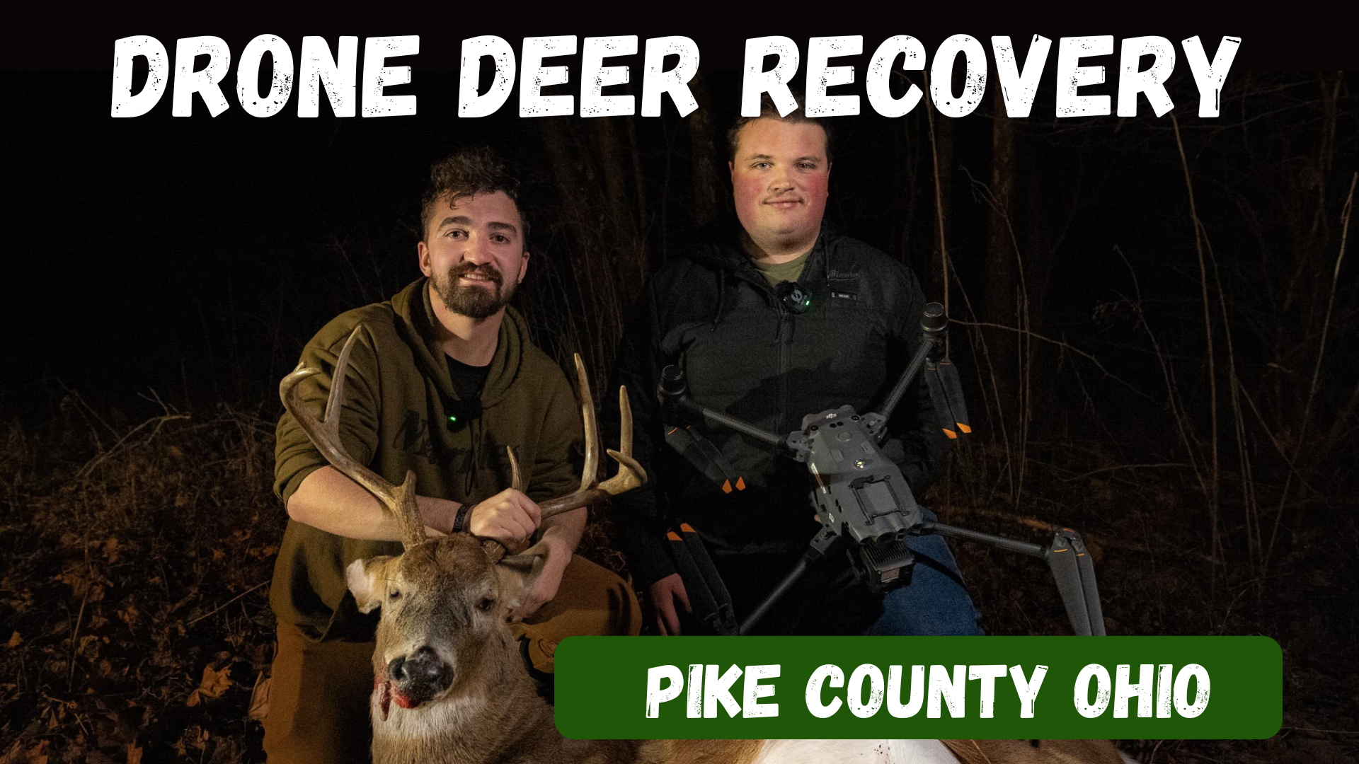
Pike County, Ohio Drone Deer Recovery Deer Recovery in Pike County The woods of Pike County are full of trophy whitetails, but the steep hills and heavy cover make tracking a challenge. Elite Deer Recovery uses thermal drones to find deer quickly, giving hunters the confidence their efforts aren’t wasted. How Our Drone Deer Recovery Works After a call or text, we head to your location, deploy our DJI M30T drones, and scan with thermal, zoom, and spotlight. When your deer is located, we send you a GPS pin for recovery. When to Reach Out Lost trail in dense cover After-dark hunts make recovery tough Unsure shot placement You want peace of mind Additional Info We’ve recovered over 225 deer in just two seasons , helping hunters across Southern Ohio. Available 24/7, we make recovery fast and stress-free. Areas We Serve in Pike County We serve hunters in Waverly, Piketon, Beaver, Jasper, Wakefield, and nearby communities . Contact Elite Deer Recovery 📞 Call/Text: 937-403-8622
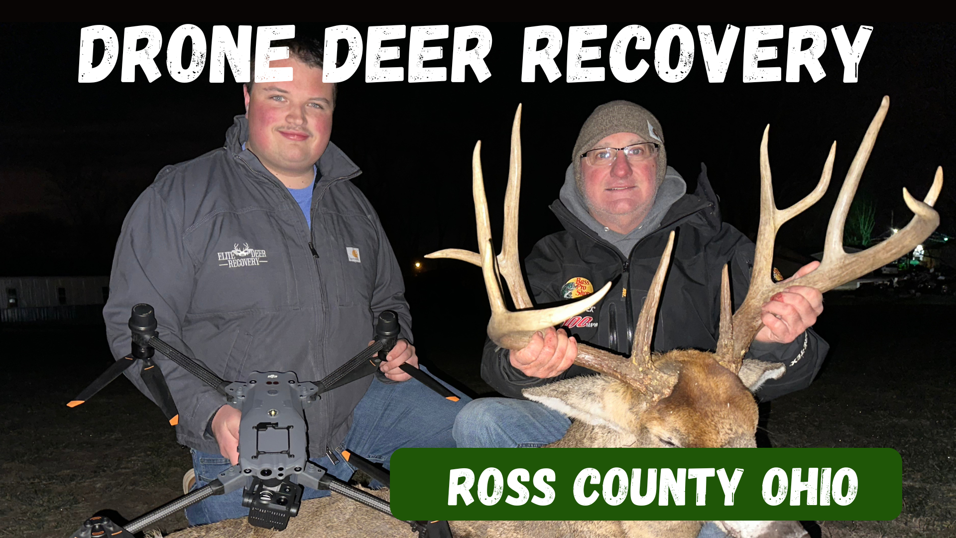
Ross County, Ohio Drone Deer Recovery Deer Recovery in Ross County From the hills outside Chillicothe to the wooded valleys near Bainbridge, Ross County is full of prime whitetail habitat. But when the trail gets tough, Elite Deer Recovery is ready to help. Using thermal drones, we recover deer fast and take the guesswork out of the process. How Our Drone Deer Recovery Works Call or text us anytime. We’ll deploy drones equipped with thermal imaging, 200x zoom, and spotlights to locate your deer. A GPS pin is then dropped directly to your phone for easy recovery. When to Reach Out Trail fades in rough terrain You lose light after evening hunts Unsure shot placement needs confirmation You want confidence your deer is recovered Additional Info Hunters trust us for fast, ethical recoveries. We’ve completed over 225 recoveries in just two seasons and are on call 24/7 during deer season. Areas We Serve in Ross County We help hunters around Chillicothe, Bainbridge, Kingston, Adelphi, Frankfort, and nearby areas . Contact Elite Deer Recovery 📞 Call/Text: 937-403-8622
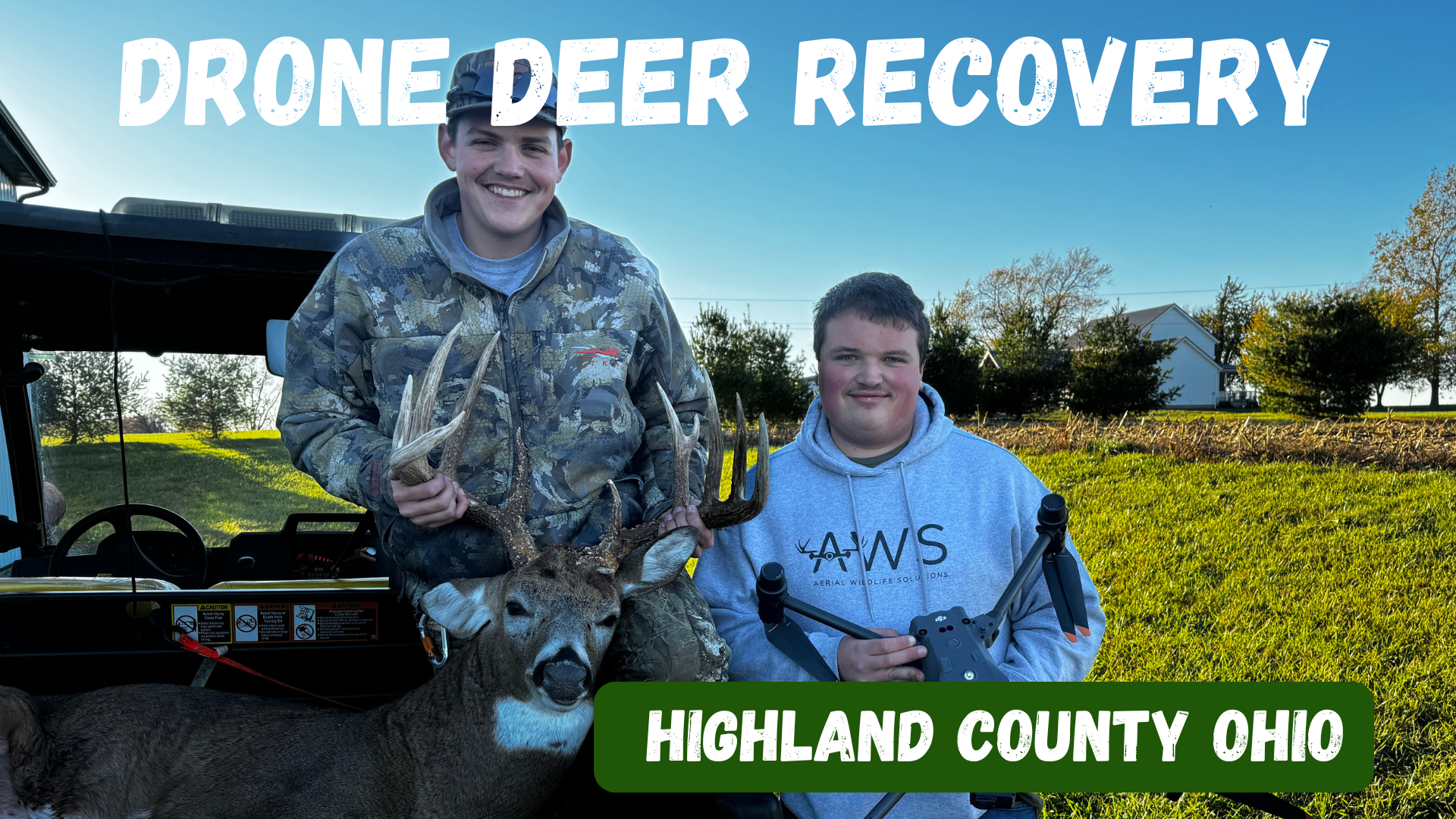
Deer Recovery in Highland County Highland County has long been a favorite destination for whitetail hunters, with its rolling farmland, hardwood ridges, and brushy hollows. But even in prime hunting country, sometimes the trail runs cold. At Elite Deer Recovery, we use thermal drone technology to help hunters across Highland County recover deer that would otherwise be lost. How Our Drone Deer Recovery Works When you call us, we’ll gather details about your hunt, head your way, and deploy our DJI M30T drones. With thermal imaging, powerful zoom, and spotlights, we can locate your deer quickly. Once found, we’ll send you a GPS pin so you can walk right in for recovery. When to Reach Out Blood trail disappears in the brush Darkness makes tracking impossible Unsure of shot placement Looking for peace of mind after a questionable hit Additional Info With over 225 successful recoveries in two seasons, we’re trusted by hunters throughout Southern Ohio. We work day and night, ensuring ethical, stress-free recoveries. Areas We Serve in Highland County We proudly serve hunters across Hillsboro, Greenfield, Leesburg, Lynchburg, Mowrystown, and surrounding areas. Contact Elite Deer Recovery 📞 Call/Text: 937-403-8622
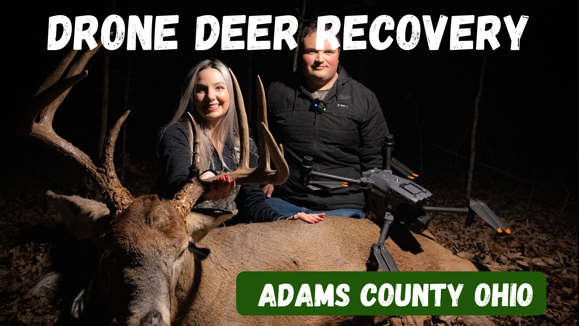
Drone Deer Recovery in Adams County, Ohio Deer Recovery in Adams County Adams County is home to some of the best hunting in Southern Ohio, with rolling hills, dense timber, and big whitetails that draw hunters from all over. But even in the best conditions, not every shot is perfect. Tracking through rugged terrain or losing a blood trail can be tough and often leaves hunters frustrated. That’s where Elite Deer Recovery comes in. With advanced thermal drone technology, we’ve helped countless hunters in Adams County recover their deer quickly, even in the thickest cover and darkest nights. How Our Drone Deer Recovery Works When you need help, the process is simple and stress-free: Call or text us at 937-403-8622 anytime, day or night. We’ll get details about your hunt and location, then head your way. Our DJI M30T drones use thermal imaging, zoom, and spotlights to locate your deer. Once the deer is located, we drop a GPS pin straight to your phone so you can walk right in. When to Reach Out The sooner you reach out, the better the chance of recovery. Hunters call us when: A blood trail disappears in heavy cover. Darkness makes tracking impossible. They’re unsure of shot placement and want confirmation. They need peace of mind after a questionable hit. Additional Info With over 225 successful recoveries in just two seasons , Elite Deer Recovery has become the trusted team for hunters across Southern Ohio. Our drones allow us to recover deer without disturbing the woods or pushing live animals. We’re on call 24/7 during hunting season because we know timing makes all the difference. Areas We Serve in Adams County We proudly serve hunters throughout Adams County, including West Union, Peebles, Seaman, Winchester, Blue Creek, and surrounding areas . No matter where you’re hunting in the county, we can be there to help. Contact Elite Deer Recovery 📍 Based in Southern Ohio 📞 Call/Text: 937-403-8622 When the shot doesn’t go as planned, don’t leave your hunt unfinished. Elite Deer Recovery is here to help hunters in Adams County recover their deer quickly and ethically.
Elite Deer Recovery Offers Game-Changing Tools for Serious Hunters