
Leesburg, Ohio
Thermal Drones for locating lost Livestock
zander parshall • August 12, 2024
Recover Lost Livestock Quickly with Thermal Drones
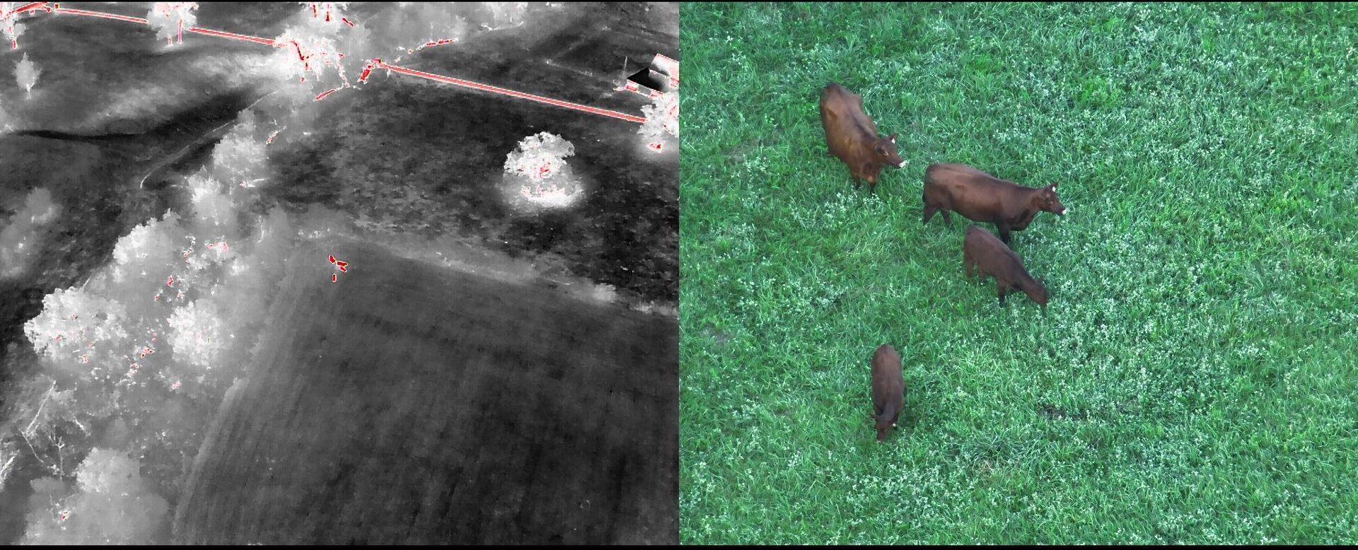
When livestock escapes, every minute counts. Traditional search methods can be time-consuming and often lead to unnecessary stress for both the animals and the farmer. That’s where our thermal drone technology comes in, providing a fast and reliable solution to locate lost livestock.
Why Thermal Drones?
Thermal drones are equipped with infrared cameras that detect heat signatures, making it easy to spot animals even in dense vegetation or at night. Unlike conventional methods, our drones can cover large areas quickly, ensuring that no time is wasted in bringing your livestock back to safety.
The Benefits
- Efficiency: Our drones can scan vast areas in a fraction of the time it would take on foot or with vehicles.
- Accuracy: The thermal imaging ensures that even animals hidden from view are detected.
- Assistance in Capture: Once located, our drones can assist in the capture and safe return of your livestock.
- Safety and Responsibility: Missing livestock poses a risk to others and remains the farmer’s responsibility. Our service helps you fulfill that obligation quickly and effectively.
Protect Your Investment
Livestock is a significant investment, and losing animals can have a substantial financial impact. By using our thermal drone services, you can minimize these risks and ensure your farm runs smoothly. Trust in our expertise to keep your livestock safe and secure.
If you’re facing the challenge of lost livestock, don’t hesitate—our thermal drone services are here to help you recover and secure your animals efficiently.
If you're in need of assistance locating livestock give us a call 937-403-8622
More Marketing Tips, Tricks & Tools
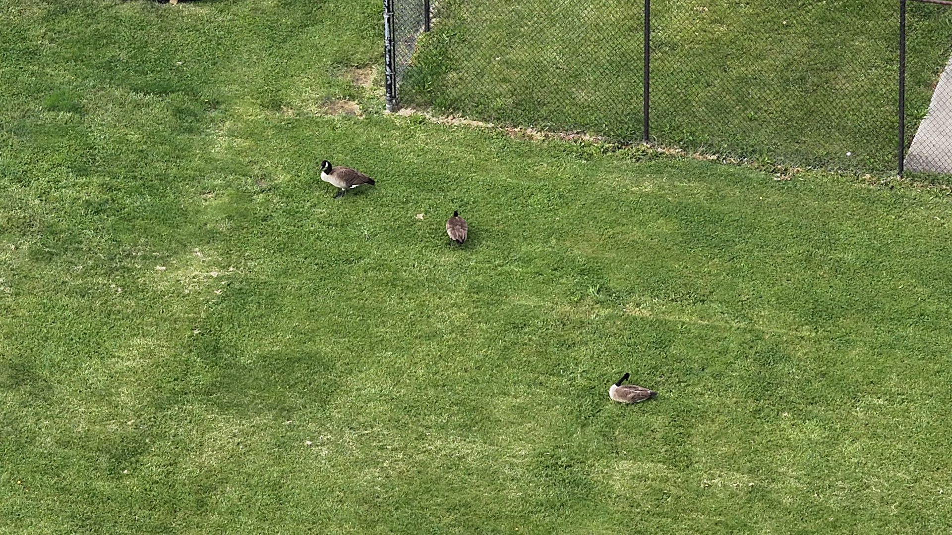
Drone Wildlife Surveys vs. Helicopter Surveys: How We Counted 133,000 Geese Across Ohio
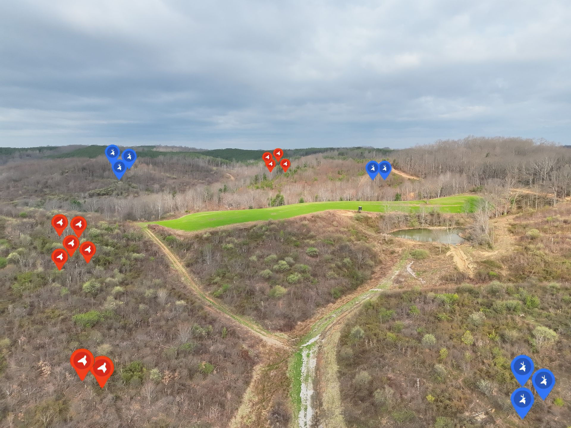
Elite Deer Recovery completed a thermal drone deer survey in Cincinnati, Ohio, helping a Midwest nature center collect deer population data for habitat protection, conservation planning, and wildlife management.

Elite Deer Recovery & Kirksville Drone Services Heading to the 2026 Open Season Sportsman’s Expo
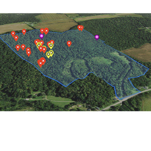
Elite Deer Recovery Offers Game-Changing Tools for Serious Hunters

We’re putting out cameras and mineral sites to get ready for deer season. Follow along as we prepare for a busy year tracking bucks and managing herds.
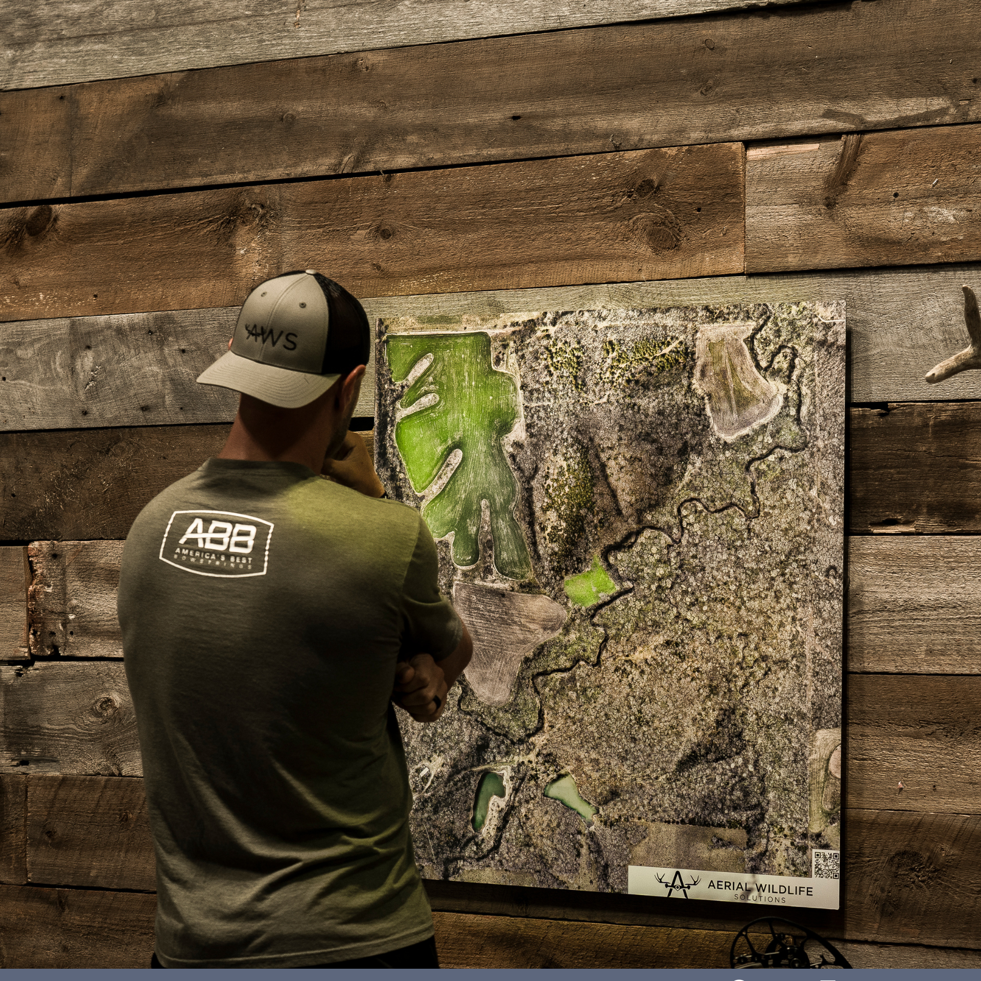
Elite Deer Recovery mapped 5,000 acres across Ohio in 2025. 25 custom property maps helping hunters and landowners plan for success.