
Leesburg, Ohio
Thermal Drone Wildlife Surveys in New York
This is a paragraph. Writing in paragraphs lets visitors find what they are looking for quickly and easily. Make sure the title suits the content of this text.
WHAT WE SURVEY
Our thermal drone surveys scan your property from above to identify deer and wildlife activity that is often missed from the ground.
We can help Identify:
- Deer Numbers
- Buck-to-doe ratio estimates
- Antlered deer observations
- Bedding and feeding areas
- Wildlife concentration areas
- Habitat use petterns
- Property use insights
- How deer use improved habitat
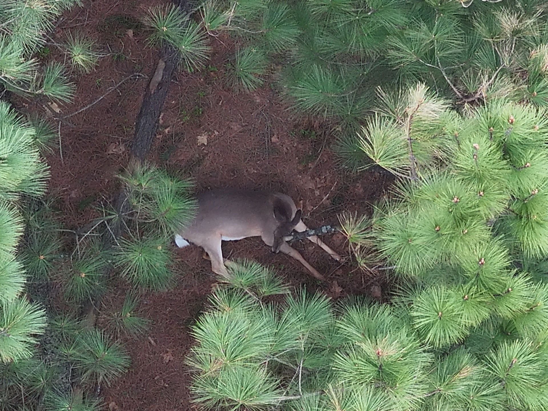
What is a thermal drone wildlife survey
hi
Can thermal drones count deer?
Describe the item or answer the question so that site visitors who are interested get more information. You can emphasize this text with bullets, italics or bold, and add links.Title or Question
Describe the item or answer the question so that site visitors who are interested get more information. You can emphasize this text with bullets, italics or bold, and add links.
REQUEST A NEW YORK
WILDLIFE SURVEY QUOTE
Tell us about your property and survey goals.
We'll help you get accurate wildlife data
you need to make smarter decisions